Richmond Area, Richmond Postcode(7020) & Map in Richmond
Richmond Area, Richmond Postcode(7020) & Map in Richmond, Waitaki District,
Richmond, Waitaki District,
Richmond Postcodes
Richmond Area (estimated)
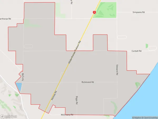
19.1 square kilometersRichmond Population (estimated)
151 people live in Richmond, , NZRichmond Suburb Area Map (Polygon)
Richmond Introduction
The Richmond, Waitaki Bridge is a 1.2-kilometer-long bridge in Richmond, New Zealand, that connects the town to the northern bank of the Waitaki River. It was opened in 1963 and is a vital link in the region's transportation network, carrying over 10,000 vehicles per day. The bridge is a concrete box girder structure with a length of 40 meters and a width of 10 meters.0Suburb Name
RichmondRichmond Area Map (Street)
Local Authority
Waitaki DistrictFull Address
Richmond, Waitaki District,Address Type
Locality in Major Locality Waitaki BridgeRichmond Suburb Map (Satellite)
Country
Main Region in AU
Richmond Region Map
Coordinates
0,0 (latitude/longitude)Distances
The distance from Richmond, Waitaki Bridge, Waitaki District to NZ Top 10 Cities