Riccarton Area, Riccarton Postcode(8149) & Map in Riccarton
Riccarton Area, Riccarton Postcode(8149) & Map in Riccarton, Christchurch City, New Zealand
Riccarton, Christchurch City, New Zealand
Riccarton Area (estimated)
3.5 square kilometersRiccarton Population (estimated)
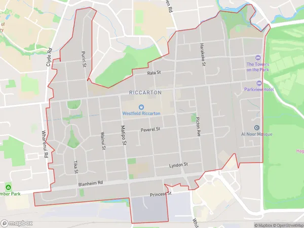
11205 people live in Riccarton, Halswell-Hornby-Riccarton Community, NZRiccarton Suburb Area Map (Polygon)
Riccarton Introduction
Riccarton is a suburb of Christchurch, New Zealand, located 7 km southwest of the city center. It is known for its rich heritage and historic homes, including the Riccarton House, which is one of the oldest surviving buildings in Christchurch. The suburb has a variety of shops, restaurants, and recreational facilities, and is popular with families and young professionals. It is also home to the University of Canterbury, one of New Zealand's leading universities.Region
Major City
Suburb Name
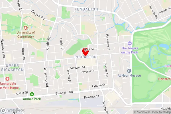
RiccartonRiccarton Area Map (Street)
Local Authority
Christchurch CityFull Address
Riccarton, Christchurch City, New ZealandAddress Type
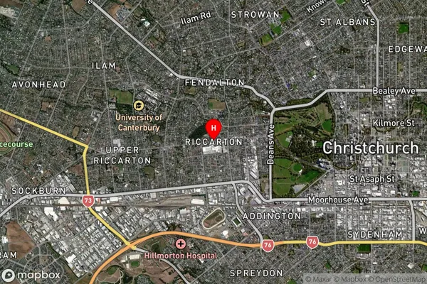
Suburb in City ChristchurchRiccarton Suburb Map (Satellite)
Country
Main Region in AU
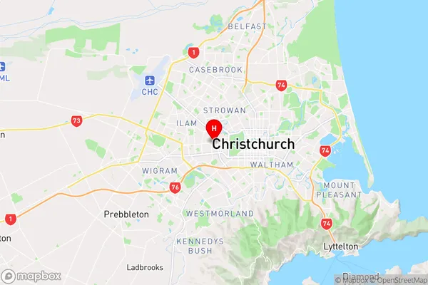
CanterburyRiccarton Region Map
Coordinates
-43.5299309,172.598559 (latitude/longitude)Distances
The distance from Riccarton, Christchurch, Christchurch City to NZ Top 10 Cities