Rere Area, Rere Postcode(4010) & Map in Rere
Rere Area, Rere Postcode(4010) & Map in Rere, Gisborne District, New Zealand
Rere, Gisborne District, New Zealand
Rere Postcodes
Rere Area (estimated)
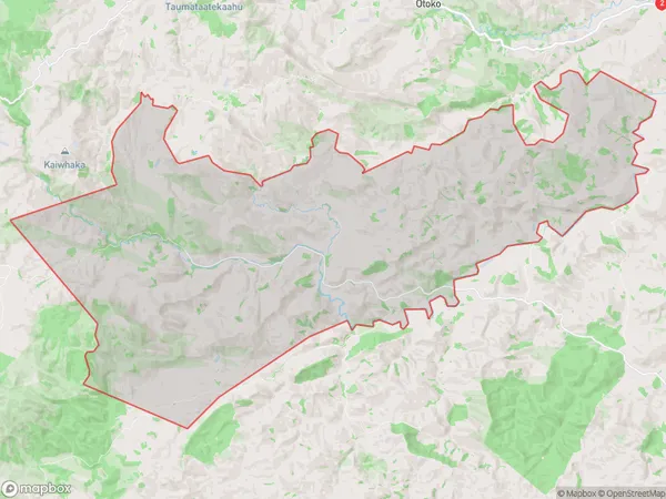
134.1 square kilometersRere Population (estimated)
84 people live in Rere, Gisborne, NZRere Suburb Area Map (Polygon)
Rere Introduction
Rere is a small rural settlement in the Gisborne region of New Zealand. It is known for its scenic beauty, with rolling hills, lush forests, and a peaceful atmosphere. The village has a population of around 100 people and is located on the banks of the Rere River. It is a popular destination for outdoor enthusiasts, with numerous hiking and cycling trails nearby. The area also has a rich cultural heritage, with several historic buildings and a traditional Maori village.Region
Major City
Suburb Name
RereOther Name(s)
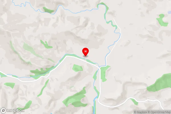
Ruakaturi, Urewera National ParkRere Area Map (Street)
Local Authority
Gisborne DistrictFull Address
Rere, Gisborne District, New ZealandAddress Type
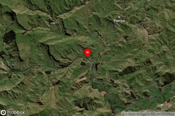
Locality in Town GisborneRere Suburb Map (Satellite)
Country
Main Region in AU
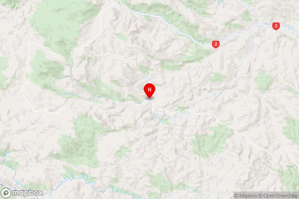
GisborneRere Region Map
Coordinates
-38.5343189,177.6057744 (latitude/longitude)Distances
The distance from Rere, Gisborne, Gisborne District to NZ Top 10 Cities