Reidston Area, Reidston Postcode(9495) & Map in Reidston
Reidston Area, Reidston Postcode(9495) & Map in Reidston, Waitaki District, New Zealand
Reidston, Waitaki District, New Zealand
Reidston Postcodes
Reidston Area (estimated)
22.4 square kilometersReidston Population (estimated)
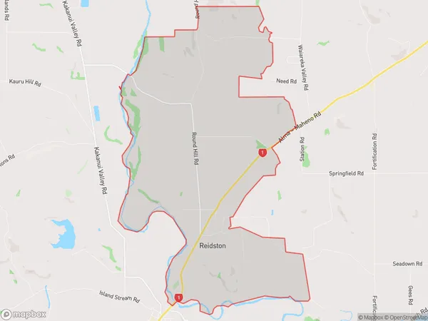
201 people live in Reidston, Otago, NZReidston Suburb Area Map (Polygon)
Reidston Introduction
Reidston is a small town in Otago, New Zealand, located on the banks of the Waitaki River. It was established in 1864 and is known for its historic stone buildings and picturesque surroundings. The town has a population of around 2,000 people and is a popular tourist destination, particularly for its wine-growing region.Region
Major City
Suburb Name
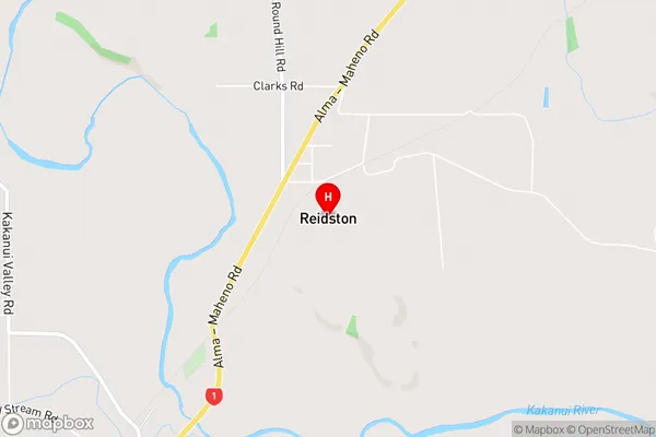
ReidstonReidston Area Map (Street)
Local Authority
Waitaki DistrictFull Address
Reidston, Waitaki District, New ZealandAddress Type
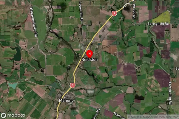
Locality in Town OamaruReidston Suburb Map (Satellite)
Country
Main Region in AU
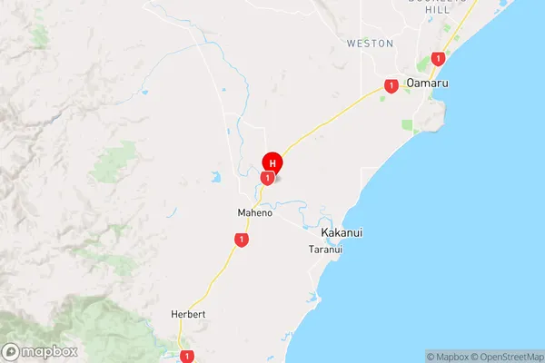
OtagoReidston Region Map
Coordinates
-45.1524311,170.8513461 (latitude/longitude)Distances
The distance from Reidston, Oamaru, Waitaki District to NZ Top 10 Cities