Reefton Area, Reefton Postcode(7830) & Map in Reefton
Reefton Area, Reefton Postcode(7830) & Map in Reefton, Buller District, New Zealand
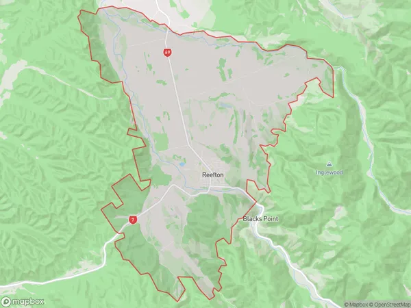
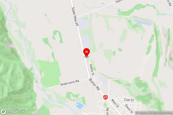
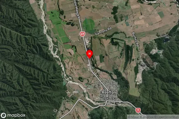
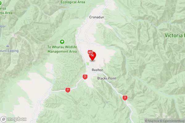
Reefton, Buller District, New Zealand
Reefton Area (estimated)
56.8 square kilometersReefton Population (estimated)
1028 people live in Reefton, West Coast, NZReefton Suburb Area Map (Polygon)
Reefton Introduction
Reefton is a coal-mining town in the West Coast region of New Zealand's South Island. It is situated on the Grey River, 30 km northwest of Westport. The town was founded in 1876 and was once the largest coal-mining center in New Zealand. Today, Reefton is a popular tourist destination and is known for its historic buildings, including the Reefton Fire Station and the West Coast Museum.Region
Major City
Suburb Name
ReeftonOther Name(s)
Larrys Creek, Taipoiti, WaitahuReefton Area Map (Street)
Local Authority
Buller DistrictFull Address
Reefton, Buller District, New ZealandAddress Type
Suburb in Town ReeftonReefton Suburb Map (Satellite)
Country
Main Region in AU
West CoastReefton Region Map
Coordinates
-42.1018915,171.8523602 (latitude/longitude)Distances
The distance from Reefton, Reefton, Buller District to NZ Top 10 Cities