Redwood Pass Area, Redwood Pass Postcode & Map in Redwood Pass
Redwood Pass Area, Redwood Pass Postcode & Map in Redwood Pass, Marlborough District, New Zealand
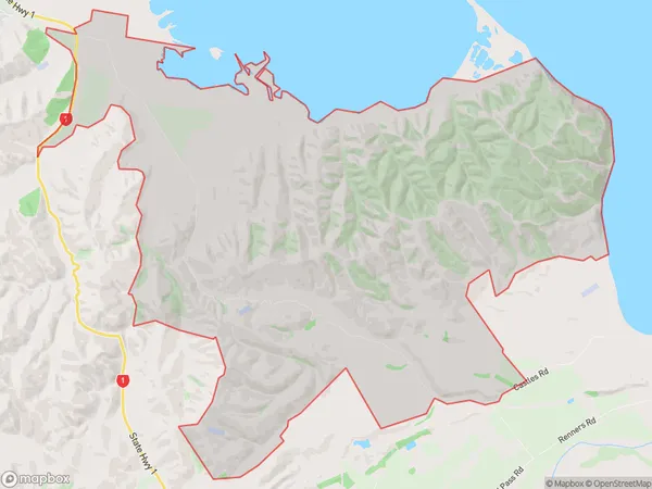
Redwood Pass, Marlborough District, New Zealand
Redwood Pass Area (estimated)
49.2 square kilometersRedwood Pass Population (estimated)
58 people live in Redwood Pass, Marlborough, NZRedwood Pass Suburb Area Map (Polygon)
Redwood Pass Introduction
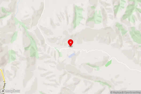
Redwood Pass is a scenic route in Marlborough, New Zealand, that connects the Wairau Valley with the Pacific Ocean. It is known for its towering redwood trees and scenic views of the surrounding countryside. The pass is also a popular spot for hiking, mountain biking, and picnicking.Region
Major City
Suburb Name
Redwood PassRedwood Pass Area Map (Street)
Local Authority
Marlborough DistrictFull Address
Redwood Pass, Marlborough District, New ZealandAddress Type
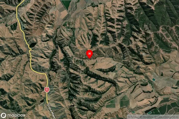
Locality in Town SeddonRedwood Pass Suburb Map (Satellite)
Country
Main Region in AU
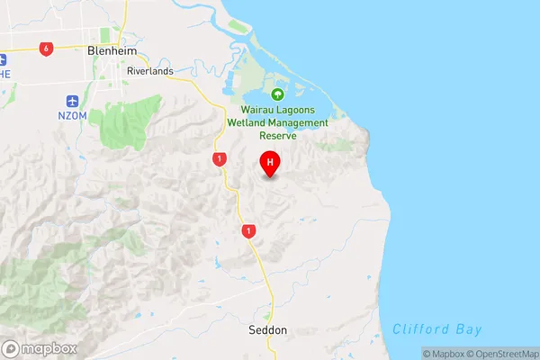
MarlboroughRedwood Pass Region Map
Coordinates
-41.5856516,174.0750094 (latitude/longitude)Distances
The distance from Redwood Pass, Seddon, Marlborough District to NZ Top 10 Cities