Redwood Area, Redwood Postcode(8051) & Map in Redwood
Redwood Area, Redwood Postcode(8051) & Map in Redwood, Christchurch City, New Zealand
Redwood, Christchurch City, New Zealand
Redwood Postcodes
Redwood Area (estimated)
5.3 square kilometersRedwood Population (estimated)
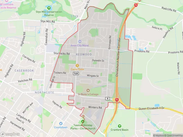
8703 people live in Redwood, Christchurch, NZRedwood Suburb Area Map (Polygon)
Redwood Introduction
Redwood is a suburb of Christchurch, New Zealand, located in the eastern suburbs of the city. It is known for its large number of trees, including the iconic Redwood trees that give the suburb its name. The suburb has a peaceful and quiet atmosphere, with plenty of parks and recreational facilities for residents to enjoy. It is also home to a number of schools and businesses, making it a convenient and popular place to live.Region
Major City
Suburb Name
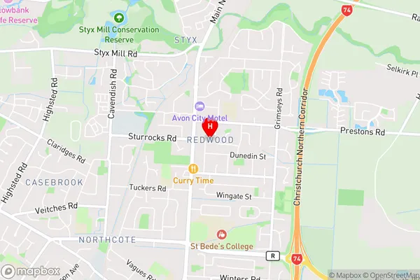
RedwoodRedwood Area Map (Street)
Local Authority
Christchurch CityFull Address
Redwood, Christchurch City, New ZealandAddress Type
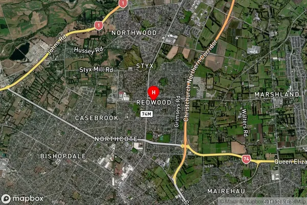
Suburb in City ChristchurchRedwood Suburb Map (Satellite)
Country
Main Region in AU
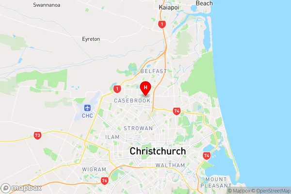
CanterburyRedwood Region Map
Coordinates
-43.4753837,172.6190919 (latitude/longitude)Distances
The distance from Redwood, Christchurch, Christchurch City to NZ Top 10 Cities