Redcliffs Area, Redcliffs Postcode(8081) & Map in Redcliffs
Redcliffs Area, Redcliffs Postcode(8081) & Map in Redcliffs, Christchurch City, New Zealand
Redcliffs, Christchurch City, New Zealand
Redcliffs Postcodes
Redcliffs Area (estimated)
2.3 square kilometersRedcliffs Population (estimated)
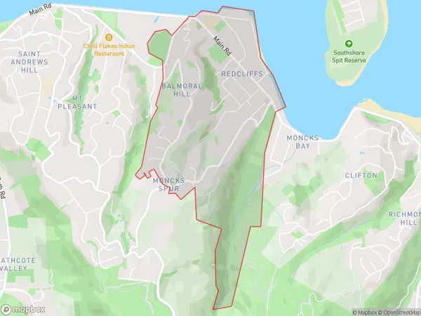
1930 people live in Redcliffs, Linwood-Central-Heathcote Community, NZRedcliffs Suburb Area Map (Polygon)
Redcliffs Introduction
Redcliffs is a suburb of Christchurch, New Zealand, located on the banks of the Avon River. It is known for its scenic views, popular beaches, and vibrant community. The suburb has a rich history, with many historic buildings and landmarks, including the Redcliffs War Memorial and the Redcliffs Baptist Church. It is also home to a variety of recreational facilities, including parks, golf courses, and sports clubs.Region
Major City
Suburb Name
RedcliffsOther Name(s)
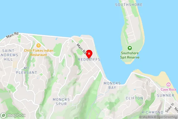
Balmoral HillRedcliffs Area Map (Street)
Local Authority
Christchurch CityFull Address
Redcliffs, Christchurch City, New ZealandAddress Type
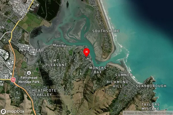
Suburb in City ChristchurchRedcliffs Suburb Map (Satellite)
Country
Main Region in AU
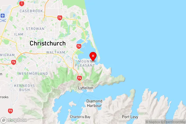
CanterburyRedcliffs Region Map
Coordinates
-43.5609616,172.7369305 (latitude/longitude)Distances
The distance from Redcliffs, Christchurch, Christchurch City to NZ Top 10 Cities