Redan Area, Redan Postcode & Map in Redan
Redan Area, Redan Postcode & Map in Redan, Southland District, New Zealand
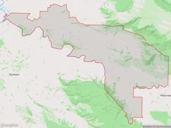
Redan, Southland District, New Zealand
Redan Area (estimated)
91.5 square kilometersRedan Population (estimated)
93 people live in Redan, Waihopai Toetoe Community, NZRedan Suburb Area Map (Polygon)
Redan Introduction
Redan is a small rural community in Southland, New Zealand. It is located in the Wyndham District of the Southland Province and is situated on the banks of the Redan River. The community has a population of around 100 people and is known for its scenic surroundings and peaceful atmosphere. The area is popular with outdoor enthusiasts and is surrounded by stunning natural landscapes, including mountains, forests, and rivers.Region
Major City
Suburb Name
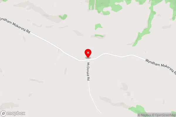
RedanRedan Area Map (Street)
Local Authority
Southland DistrictFull Address
Redan, Southland District, New ZealandAddress Type
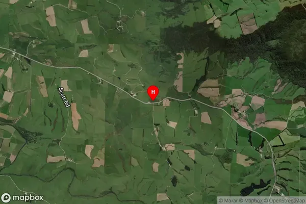
Locality in Town WyndhamRedan Suburb Map (Satellite)
Country
Main Region in AU
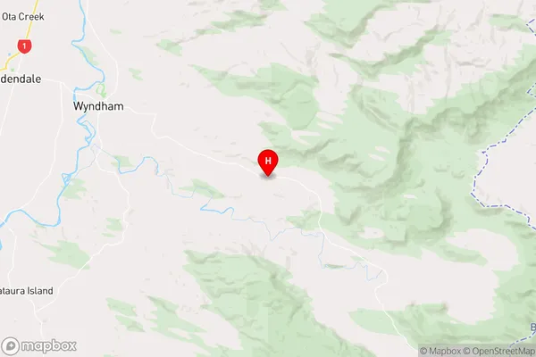
SouthlandRedan Region Map
Coordinates
-46.3674974,168.9779234 (latitude/longitude)Distances
The distance from Redan, Wyndham, Southland District to NZ Top 10 Cities