Red Hill Area, Red Hill Postcode(2110) & Map in Red Hill
Red Hill Area, Red Hill Postcode(2110) & Map in Red Hill, Auckland, New Zealand
Red Hill, Auckland, New Zealand
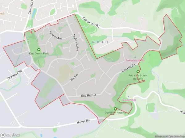
Red Hill Postcodes
Red Hill Area (estimated)
1.6 square kilometersRed Hill Population (estimated)
2583 people live in Red Hill, Papakura, NZRed Hill Suburb Area Map (Polygon)
Red Hill Introduction
Red Hill is a suburb of Auckland, New Zealand, with a population of around 10,000 people. It is known for its historic buildings, such as the Red Hill War Memorial and St Paul's Anglican Church, and its scenic surroundings, including the Red Hill Reserve and the Pukekohe Scenic Reserve. The suburb is also home to a number of popular cafes and restaurants, and is well-connected to other parts of Auckland via public transport.Region
Major City
Suburb Name
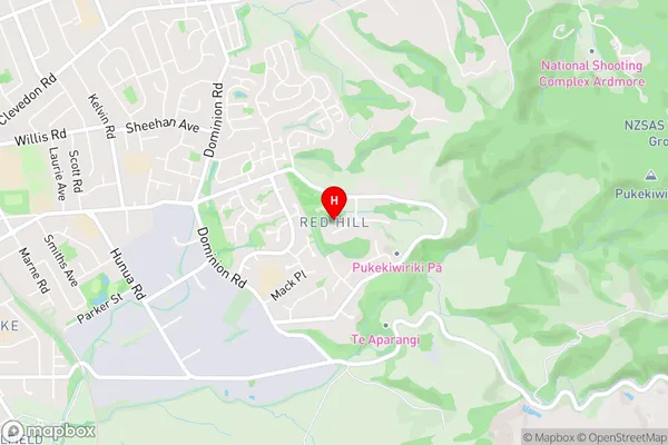
Red HillRed Hill Area Map (Street)
Local Authority
AucklandFull Address
Red Hill, Auckland, New ZealandAddress Type
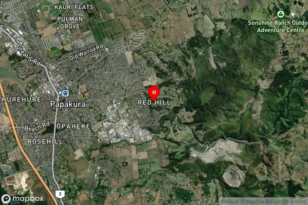
Suburb in Town PapakuraRed Hill Suburb Map (Satellite)
Country
Main Region in AU
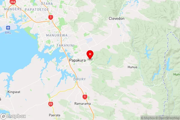
AucklandRed Hill Region Map
Coordinates
-37.0669356,174.9759473 (latitude/longitude)Distances
The distance from Red Hill, Papakura, Auckland to NZ Top 10 Cities