Raureka Area, Raureka Postcode(4120) & Map in Raureka
Raureka Area, Raureka Postcode(4120) & Map in Raureka, Hastings District, New Zealand
Raureka, Hastings District, New Zealand
Raureka Postcodes
Raureka Area (estimated)
2.8 square kilometersRaureka Population (estimated)
5080 people live in Raureka, Hastings, NZRaureka Suburb Area Map (Polygon)
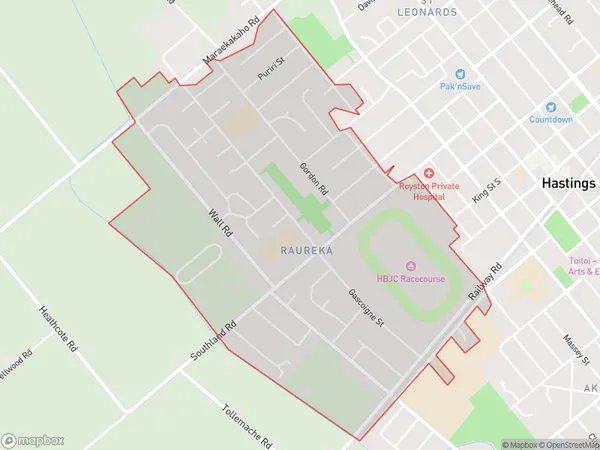
Raureka Introduction
Raureka is a small rural community in the Hastings District of Hawke's Bay, New Zealand. It is located on State Highway 2, approximately 12 km south of Hastings and 105 km north of Napier. The area was originally settled by Māori tribes, and the name "Raureka" means "the place of springs" in Te Reo Māori. The community has a primary school, a post office, and a small supermarket. Raureka is surrounded by farmland and scenic countryside, and is popular with outdoor enthusiasts and nature lovers.Region
Major City
Suburb Name
RaurekaOther Name(s)
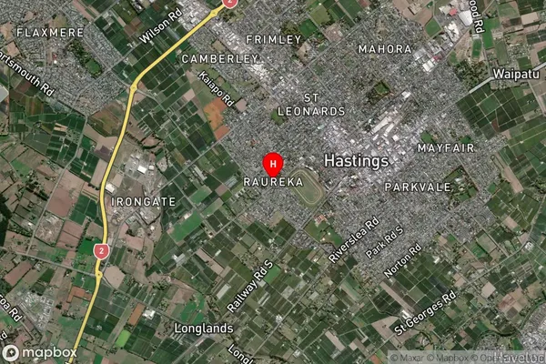
Hastings CentralRaureka Area Map (Street)

Local Authority
Hastings DistrictFull Address
Raureka, Hastings District, New ZealandAddress Type
Suburb in City HastingsRaureka Suburb Map (Satellite)
Country
Main Region in AU
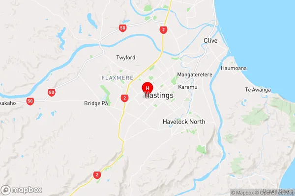
Hawke's BayRaureka Region Map
Coordinates
-39.6448705,176.8274402 (latitude/longitude)Distances
The distance from Raureka, Hastings, Hastings District to NZ Top 10 Cities