Rarangi Area, Rarangi Postcode & Map in Rarangi
Rarangi Area, Rarangi Postcode & Map in Rarangi, Marlborough District, New Zealand
Rarangi, Marlborough District, New Zealand
Rarangi Area (estimated)
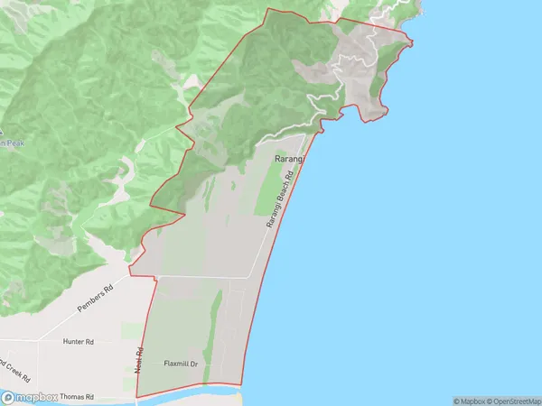
25.4 square kilometersRarangi Population (estimated)
707 people live in Rarangi, Marlborough, NZRarangi Suburb Area Map (Polygon)
Rarangi Introduction
Rarangi is a small rural community in Blenheim, Marlborough, New Zealand. It is known for its beautiful beaches, lush green forests, and tranquil atmosphere. The area is popular with tourists and has a variety of accommodation options, including hotels, resorts, and holiday homes. Rarangi also has a community center, a library, and a supermarket. The nearby Marlborough Sounds is a popular destination for boating, fishing, and hiking.Region
Major City
Suburb Name
Rarangi (Maori Name: Rārangi)Other Name(s)
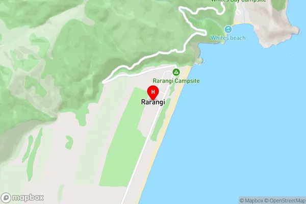
PipiteaRarangi Area Map (Street)
Local Authority
Marlborough DistrictFull Address
Rarangi, Marlborough District, New ZealandAddress Type
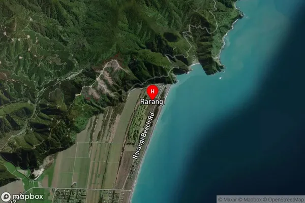
Locality in Town BlenheimRarangi Suburb Map (Satellite)
Country
Main Region in AU
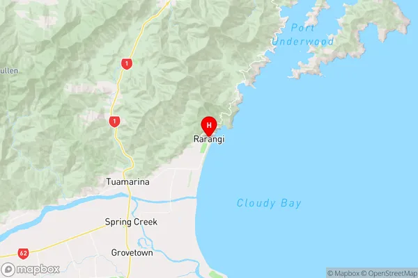
MarlboroughRarangi Region Map
Coordinates
-41.3964098,174.0432031 (latitude/longitude)Distances
The distance from Rarangi, Blenheim, Marlborough District to NZ Top 10 Cities