Te Rapaki-o-Te Rakiwhakaputa Area, Te Rapaki-o-Te Rakiwhakaputa Postcode(8971) & Map in Te Rapaki-o-Te Rakiwhakaputa
Te Rapaki-o-Te Rakiwhakaputa Area, Te Rapaki-o-Te Rakiwhakaputa Postcode(8971) & Map in Te Rapaki-o-Te Rakiwhakaputa, Christchurch City, New Zealand
Te Rapaki-o-Te Rakiwhakaputa, Christchurch City, New Zealand
Te Rapaki-o-Te Rakiwhakaputa Postcodes
Te Rapaki-o-Te Rakiwhakaputa Area (estimated)
6.5 square kilometersTe Rapaki-o-Te Rakiwhakaputa Population (estimated)
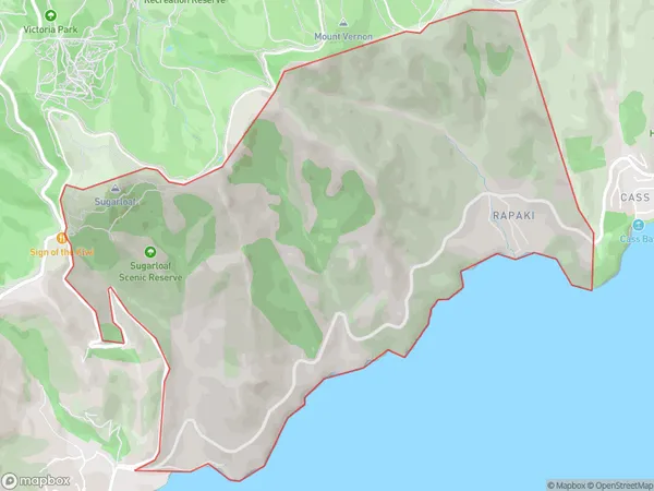
199 people live in Te Rapaki-o-Te Rakiwhakaputa, Banks Peninsula Community, NZTe Rapaki-o-Te Rakiwhakaputa Suburb Area Map (Polygon)

Te Rapaki-o-Te Rakiwhakaputa Introduction
Te Rapaki-o-Te Rakiwhakaputa is a significant archaeological site located in Lyttelton, Canterbury, New Zealand. It is a place of great cultural and historical significance to the local Māori people. The site features a series of stone terraces that were built by the Māori ancestors over centuries. These terraces were used for cultivation, food storage, and religious ceremonies. The site also includes a large stone platform, known as a pa, which was used for meetings and gatherings. Te Rapaki-o-Te Rakiwhakaputa is an important reminder of the rich cultural heritage of New Zealand and the importance of preserving and protecting archaeological sites.Region
Major City
Suburb Name
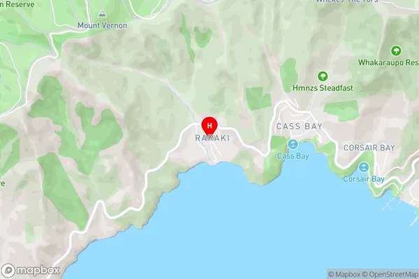
Te Rapaki-o-Te Rakiwhakaputa (Maori Name: Te Rāpaki-o-Te Rakiwhakaputa)Te Rapaki-o-Te Rakiwhakaputa Area Map (Street)

Local Authority
Christchurch CityFull Address
Te Rapaki-o-Te Rakiwhakaputa, Christchurch City, New ZealandAddress Type
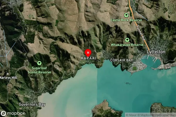
Locality in Town LytteltonTe Rapaki-o-Te Rakiwhakaputa Suburb Map (Satellite)

Country
Main Region in AU
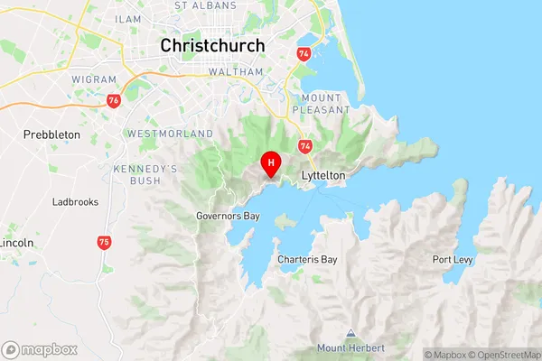
CanterburyTe Rapaki-o-Te Rakiwhakaputa Region Map

Coordinates
-43.605367,172.680809 (latitude/longitude)Distances
The distance from Te Rapaki-o-Te Rakiwhakaputa, Lyttelton, Christchurch City to NZ Top 10 Cities