Ranui Area, Ranui Postcode(0612) & Map in Ranui
Ranui Area, Ranui Postcode(0612) & Map in Ranui, Auckland, New Zealand
Ranui, Auckland, New Zealand
Ranui Postcodes
Ranui Area (estimated)
4.4 square kilometersRanui Population (estimated)
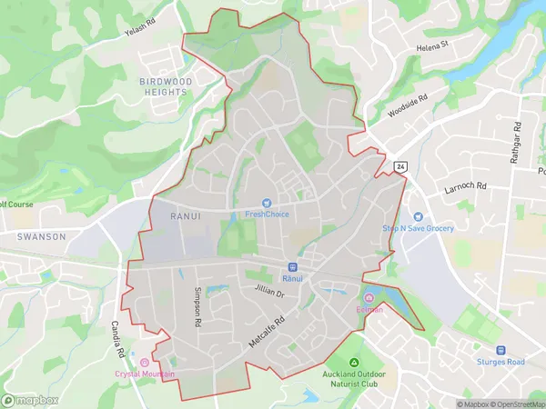
13518 people live in Ranui, Waikato, NZRanui Suburb Area Map (Polygon)
Ranui Introduction
Ranui is a suburb of Auckland, New Zealand. It is located in the Waitakere Ward of the Auckland Council. Ranui is a diverse suburb with a mix of residential, commercial, and industrial areas. It is known for its large Pacific Island community and has a number of popular restaurants, cafes, and shops. The suburb also has a number of parks and recreational facilities, including Ranui Reserve and Ranui Golf Club.Region
Major City
Suburb Name
RanuiRanui Area Map (Street)
Local Authority
AucklandFull Address
Ranui, Auckland, New ZealandAddress Type
Suburb in City AucklandRanui Suburb Map (Satellite)
Country
Main Region in AU
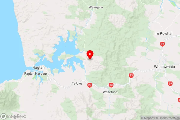
WaikatoRanui Region Map
Coordinates
-37.786474,174.985962 (latitude/longitude)Distances
The distance from Ranui, Auckland, Auckland to NZ Top 10 Cities