Rangiuru Area, Rangiuru Postcode & Map in Rangiuru
Rangiuru Area, Rangiuru Postcode & Map in Rangiuru, Western Bay of Plenty District, New Zealand
Rangiuru, Western Bay of Plenty District, New Zealand
Rangiuru Area (estimated)
33.2 square kilometersRangiuru Population (estimated)
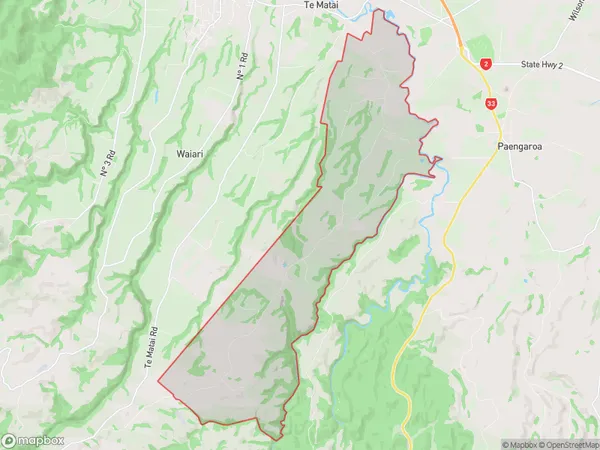
441 people live in Rangiuru, Bay of Plenty, NZRangiuru Suburb Area Map (Polygon)
Rangiuru Introduction
Rangiuru is a small, isolated settlement in the Bay of Plenty, New Zealand. It is known for its stunning natural scenery, including the Rangiuru National Park and the Rangiuru Island. The settlement has a population of around 100 people and is surrounded by farmland and native bush. Rangiuru is a popular destination for tourists who enjoy hiking, fishing, and birdwatching. The nearest major town is Tauranga, which is approximately 45 minutes away by car.Region
Major City
Suburb Name
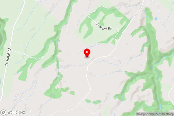
RangiuruRangiuru Area Map (Street)
Local Authority
Western Bay of Plenty DistrictFull Address
Rangiuru, Western Bay of Plenty District, New ZealandAddress Type
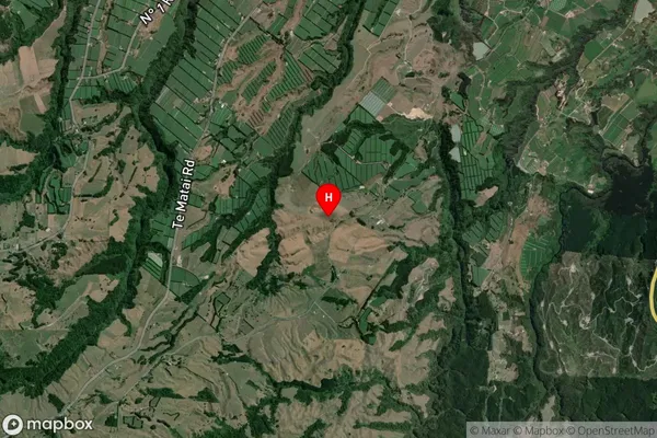
Locality in Town Te PukeRangiuru Suburb Map (Satellite)
Country
Main Region in AU
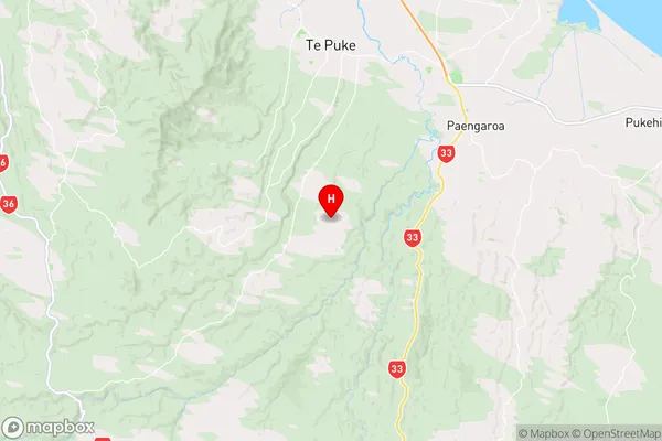
Bay of PlentyRangiuru Region Map
Coordinates
-37.871556,176.32725 (latitude/longitude)Distances
The distance from Rangiuru, Te Puke, Western Bay of Plenty District to NZ Top 10 Cities