Rangitumau Area, Rangitumau Postcode(5810) & Map in Rangitumau
Rangitumau Area, Rangitumau Postcode(5810) & Map in Rangitumau, Masterton District, New Zealand
Rangitumau, Masterton District, New Zealand
Rangitumau Postcodes
Rangitumau Area (estimated)
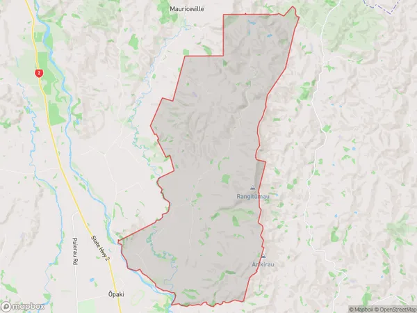
72.4 square kilometersRangitumau Population (estimated)
178 people live in Rangitumau, Wellington, NZRangitumau Suburb Area Map (Polygon)
Rangitumau Introduction
Rangitumau is a small rural settlement located in the Wairarapa region of New Zealand's North Island. It is situated on State Highway 2, approximately 30 kilometers northeast of Masterton and 120 kilometers south of Wellington. The area is known for its scenic countryside, with rolling hills, farms, and vineyards. Rangitumau has a population of around 100 people and is home to a primary school, a church, and a small community hall. The settlement was founded in the 1870s by settlers from Scotland and England, and it has a rich history of farming and rural life.Region
Major City
Suburb Name
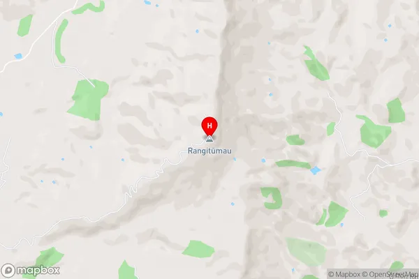
Rangitumau (Maori Name: Rangitūmau)Rangitumau Area Map (Street)
Local Authority
Masterton DistrictFull Address
Rangitumau, Masterton District, New ZealandAddress Type
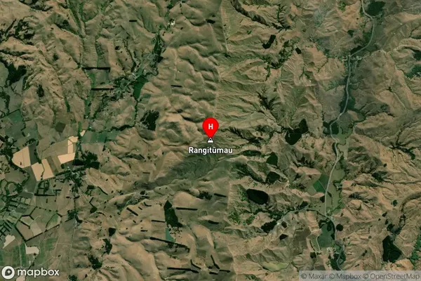
Locality in Town MastertonRangitumau Suburb Map (Satellite)
Country
Main Region in AU
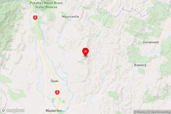
WellingtonRangitumau Region Map
Coordinates
-40.8512828,175.7361959 (latitude/longitude)Distances
The distance from Rangitumau, Masterton, Masterton District to NZ Top 10 Cities