Rahu Saddle Area, Rahu Saddle Postcode(7895) & Map in Rahu Saddle
Rahu Saddle Area, Rahu Saddle Postcode(7895) & Map in Rahu Saddle, Buller District, New Zealand
Rahu Saddle, Buller District, New Zealand
Rahu Saddle Postcodes
Rahu Saddle Area (estimated)
29.1 square kilometersRahu Saddle Population (estimated)
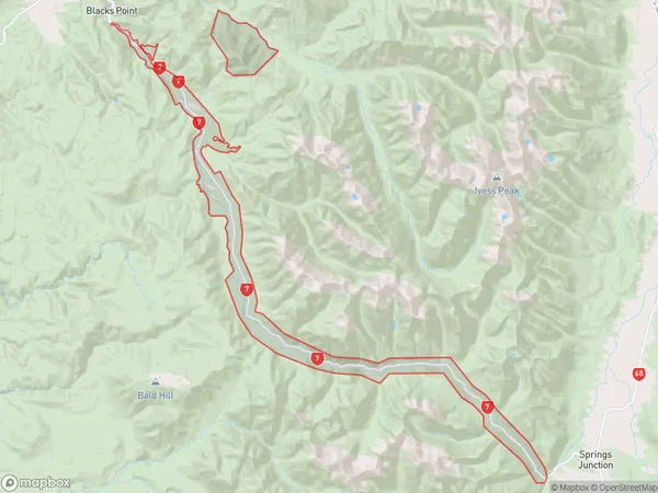
11 people live in Rahu Saddle, West Coast, NZRahu Saddle Suburb Area Map (Polygon)
Rahu Saddle Introduction
Rahu Saddle is a mountain pass located on the West Coast of New Zealand's South Island. It is part of the Southern Alps and is situated between the Grey and Green Rivers. The pass is named after the rahu, a mythical creature in Māori mythology. It is a popular hiking and skiing destination and offers stunning views of the surrounding landscape.Region
Major City
Suburb Name
Rahu SaddleOther Name(s)
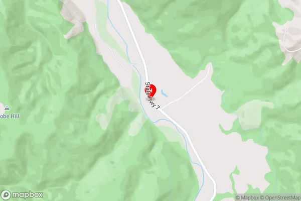
CrushingtonRahu Saddle Area Map (Street)
Local Authority
Buller DistrictFull Address
Rahu Saddle, Buller District, New ZealandAddress Type
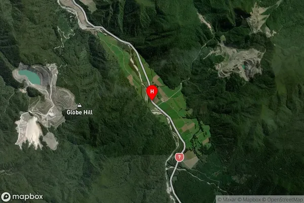
Locality in Town ReeftonRahu Saddle Suburb Map (Satellite)
Country
Main Region in AU
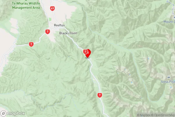
West CoastRahu Saddle Region Map
Coordinates
-42.1738344,171.9296464 (latitude/longitude)Distances
The distance from Rahu Saddle, Reefton, Buller District to NZ Top 10 Cities