Pyramid Valley Area, Pyramid Valley Postcode(7491) & Map in Pyramid Valley
Pyramid Valley Area, Pyramid Valley Postcode(7491) & Map in Pyramid Valley, Hurunui District, New Zealand
Pyramid Valley, Hurunui District, New Zealand
Pyramid Valley Postcodes
Pyramid Valley Area (estimated)
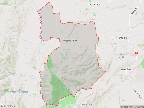
103.8 square kilometersPyramid Valley Population (estimated)
66 people live in Pyramid Valley, Canterbury, NZPyramid Valley Suburb Area Map (Polygon)
Pyramid Valley Introduction
Pyramid Valley is a stunning natural reserve located in Waikari, Canterbury, New Zealand. It is known for its unique geological features, including towering limestone formations, crystal-clear streams, and lush green forests. The reserve offers a range of outdoor activities such as hiking, mountain biking, and wildlife watching, making it a popular destination for nature enthusiasts and adventure seekers alike.Region
0Suburb Name
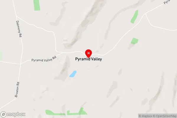
Pyramid ValleyPyramid Valley Area Map (Street)
Local Authority
Hurunui DistrictFull Address
Pyramid Valley, Hurunui District, New ZealandAddress Type
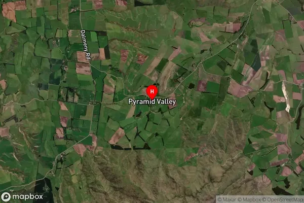
Locality in Major Locality WaikariPyramid Valley Suburb Map (Satellite)
Country
Main Region in AU
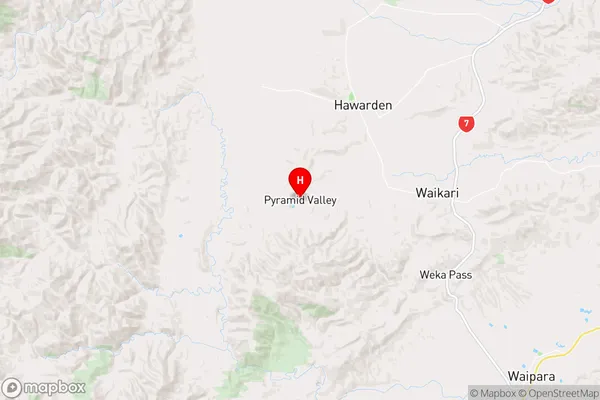
CanterburyPyramid Valley Region Map
Coordinates
-42.9699729,172.6012874 (latitude/longitude)Distances
The distance from Pyramid Valley, Waikari, Hurunui District to NZ Top 10 Cities