Punga Cove Area, Punga Cove Postcode & Map in Punga Cove
Punga Cove Area, Punga Cove Postcode & Map in Punga Cove, Marlborough District, New Zealand
Punga Cove, Marlborough District, New Zealand
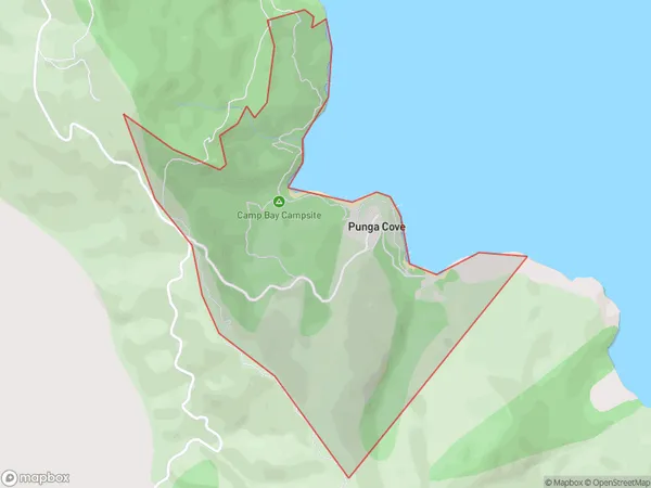
Punga Cove Area (estimated)
1.4 square kilometersPunga Cove Population (estimated)
16 people live in Punga Cove, Marlborough, NZPunga Cove Suburb Area Map (Polygon)
Punga Cove Introduction
Punga Cove is a hidden gem in the Marlborough Sounds, New Zealand, known for its picturesque beach, crystal-clear waters, and lush greenery. It's a popular spot for swimming, kayaking, and hiking, with stunning views of the surrounding mountains and islands. The cove is surrounded by native forest and has a peaceful atmosphere, making it an ideal place to relax and escape the hustle and bustle of everyday life.Region
0Suburb Name
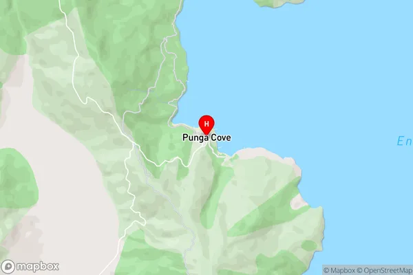
Punga CovePunga Cove Area Map (Street)
Local Authority
Marlborough DistrictFull Address
Punga Cove, Marlborough District, New ZealandAddress Type
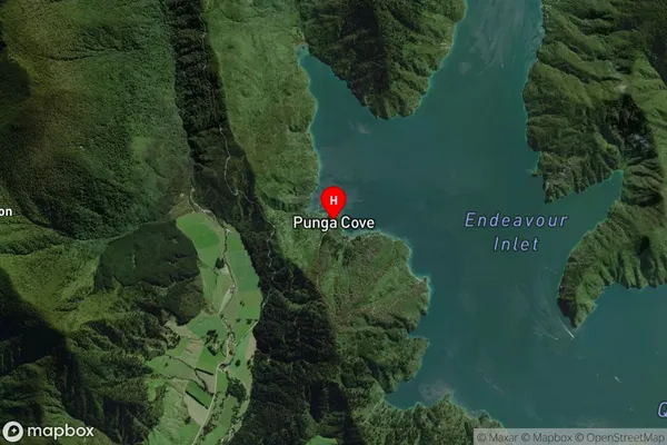
Locality in Major Locality Marlborough SoundsPunga Cove Suburb Map (Satellite)
Country
Main Region in AU
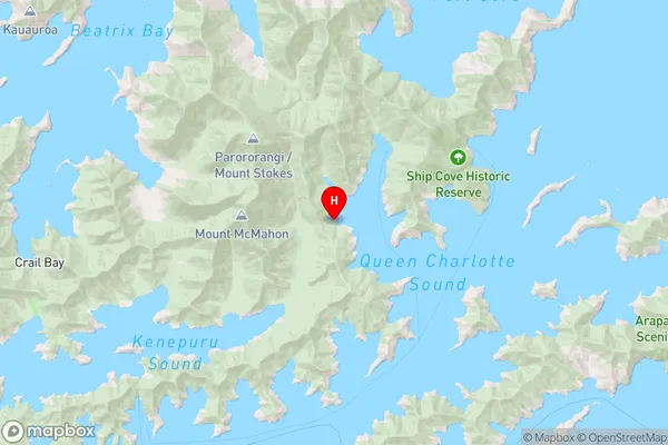
MarlboroughPunga Cove Region Map
Coordinates
-41.1291371,174.15171 (latitude/longitude)Distances
The distance from Punga Cove, Marlborough Sounds, Marlborough District to NZ Top 10 Cities