Blackhead Area, Blackhead Postcode(9018) & Map in Blackhead
Blackhead Area, Blackhead Postcode(9018) & Map in Blackhead, Dunedin City, New Zealand
Blackhead, Dunedin City, New Zealand
Blackhead Postcodes
Blackhead Area (estimated)
4.0 square kilometersBlackhead Population (estimated)
197 people live in Blackhead, Dunedin, NZBlackhead Suburb Area Map (Polygon)

Blackhead Introduction
The New Zealand postcode 9018 is located in the city of Mount Albert in the Auckland region. It covers a wide area, including several suburbs such as Mount Albert, New Lynn, and Eden Park. The postcode 9018 is part of the Royal Mail delivery area and is used to send mail to addresses within this region.Region
Major City
Suburb Name
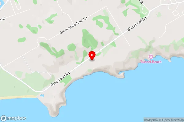
BlackheadBlackhead Area Map (Street)
Local Authority
Dunedin CityFull Address
Blackhead, Dunedin City, New ZealandAddress Type
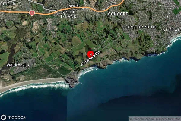
Suburb in City DunedinBlackhead Suburb Map (Satellite)
Country
Main Region in AU
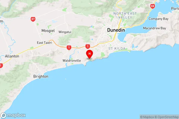
OtagoBlackhead Region Map
Coordinates
-45.921447,170.442644 (latitude/longitude)Distances
The distance from Blackhead, Dunedin, Dunedin City to NZ Top 10 Cities