Puketotara Area, Puketotara Postcode(3873) & Map in Puketotara
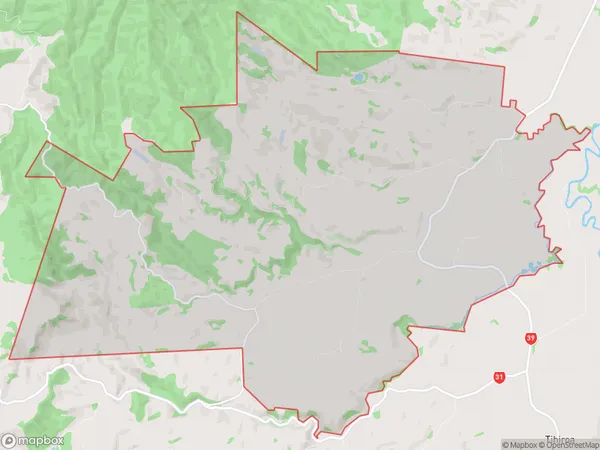
Puketotara Area, Puketotara Postcode(3873) & Map in Puketotara, Otorohanga District, New Zealand
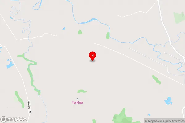
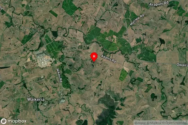
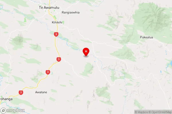
Puketotara, Otorohanga District, New Zealand
Puketotara Postcodes
Puketotara Area (estimated)
72.7 square kilometersPuketotara Population (estimated)
529 people live in Puketotara, Waikato, NZPuketotara Suburb Area Map (Polygon)
Puketotara Introduction
Puketotara is a small rural community located in the Pirongia district of Waikato, New Zealand. It is situated on the banks of the Waikato River, approximately 10 kilometers south of Pirongia and 120 kilometers north of Hamilton. The community has a population of around 100 people and is known for its scenic rural setting and peaceful atmosphere. Puketotara has a primary school, a post office, and a small supermarket. The area is popular with outdoor enthusiasts, with numerous walking and cycling tracks nearby. The community also hosts a annual music festival, which attracts visitors from around the region.Region
Major City
Suburb Name
PuketotaraOther Name(s)
Mangati, Ngutunui, Te TahiPuketotara Area Map (Street)
Local Authority
Otorohanga District (Maori Name: Ōtorohanga District)Full Address
Puketotara, Otorohanga District, New ZealandAddress Type
Locality in Town PirongiaPuketotara Suburb Map (Satellite)
Country
Main Region in AU
WaikatoPuketotara Region Map
Coordinates
-38.102946,175.414431 (latitude/longitude)Distances
The distance from Puketotara, Pirongia, Otorohanga District to NZ Top 10 Cities