Puketitiri Area, Puketitiri Postcode(4179) & Map in Puketitiri
Puketitiri Area, Puketitiri Postcode(4179) & Map in Puketitiri, Hastings District, New Zealand
Puketitiri, Hastings District, New Zealand
Puketitiri Area (estimated)
-1.2 square kilometersPuketitiri Population (estimated)
140 people live in Puketitiri, Hawke's Bay, NZPuketitiri Suburb Area Map (Polygon)
Not available for nowPuketitiri Introduction
Puketitiri is a small coastal village located in the Napier region of Hawke's Bay, New Zealand. It is known for its stunning natural surroundings, including the Puketitiri Hill, a dormant volcano that offers panoramic views of the surrounding area. The village has a population of around 1,000 people and is a popular destination for tourists who enjoy hiking, cycling, and birdwatching.Region
Major City
Suburb Name
PuketitiriOther Name(s)
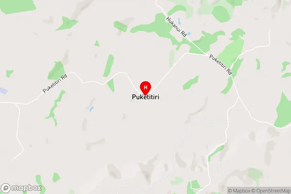
PoronuiPuketitiri Area Map (Street)
Local Authority
Hastings DistrictFull Address
Puketitiri, Hastings District, New ZealandAddress Type
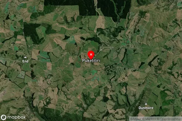
Locality in City NapierPuketitiri Suburb Map (Satellite)
Country
Main Region in AU
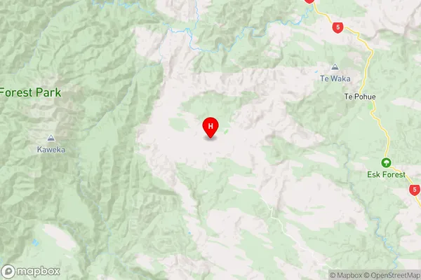
Hawke's BayPuketitiri Region Map
Coordinates
-39.2841241,176.5353799 (latitude/longitude)Distances
The distance from Puketitiri, Napier, Hastings District to NZ Top 10 Cities