Puketiro Area, Puketiro Postcode(9586) & Map in Puketiro
Puketiro Area, Puketiro Postcode(9586) & Map in Puketiro, Clutha District, New Zealand
Puketiro, Clutha District, New Zealand
Puketiro Postcodes
Puketiro Area (estimated)
10.0 square kilometersPuketiro Population (estimated)
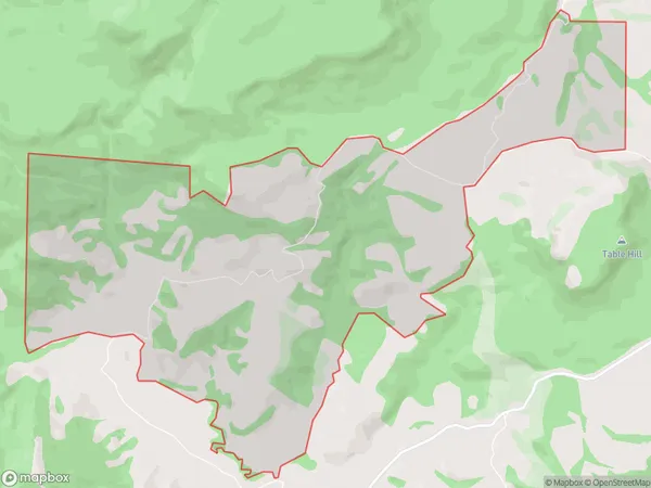
1 people live in Puketiro, Otago, NZPuketiro Suburb Area Map (Polygon)
Puketiro Introduction
Puketiro is a small rural community in the Otago region of New Zealand. It is located in the Owaka Valley, 30 kilometers southeast of Dunedin, and is surrounded by stunning natural scenery. The area is known for its farming and forestry, with many local businesses and organizations based in the community. Puketiro has a strong sense of community and hosts a variety of events and activities throughout the year, including a popular annual fair.Region
Major City
Suburb Name
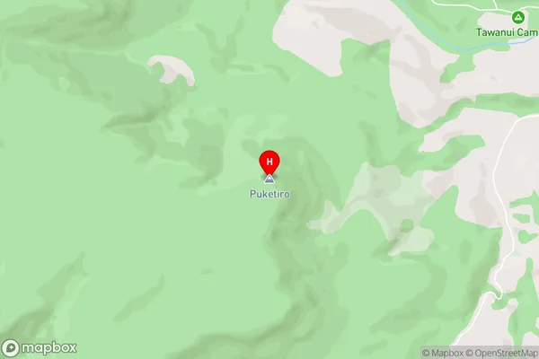
PuketiroPuketiro Area Map (Street)
Local Authority
Clutha DistrictFull Address
Puketiro, Clutha District, New ZealandAddress Type
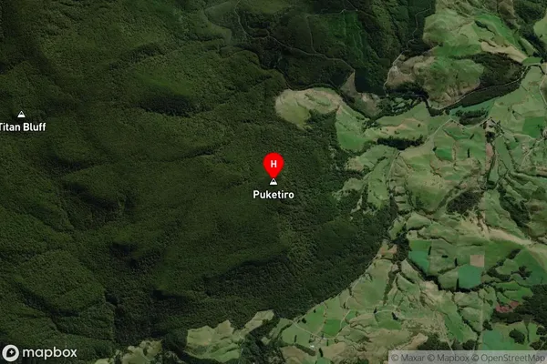
Locality in Town OwakaPuketiro Suburb Map (Satellite)
Country
Main Region in AU
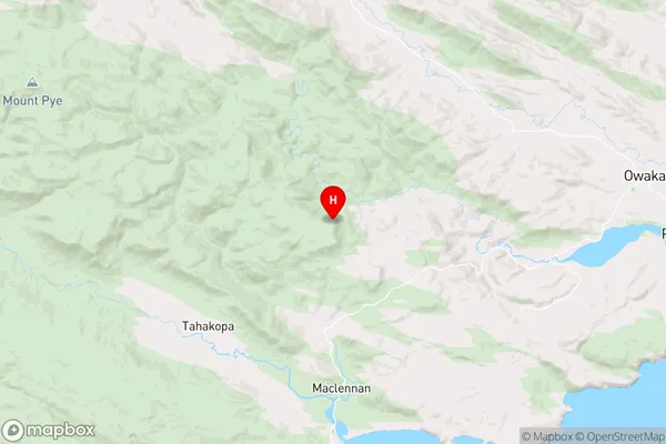
OtagoPuketiro Region Map
Coordinates
-46.468111,169.469778 (latitude/longitude)Distances
The distance from Puketiro, Owaka, Clutha District to NZ Top 10 Cities