Blackball Area, Blackball Postcode(7804) & Map in Blackball
Blackball Area, Blackball Postcode(7804) & Map in Blackball, Grey District, New Zealand
Blackball, Grey District, New Zealand
Blackball Postcodes
Blackball Area (estimated)
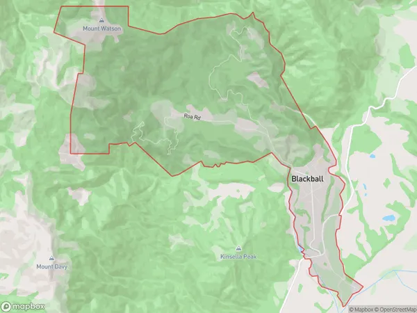
19.2 square kilometersBlackball Population (estimated)
321 people live in Blackball, West Coast, NZBlackball Suburb Area Map (Polygon)
Blackball Introduction
Blackball is a small rural community on the West Coast of New Zealand's South Island. It is located in the Grey District and is known for its coal mining heritage and picturesque surroundings. The town was founded in the 1860s and has a population of around 200 people. Blackball is surrounded by stunning natural landscapes, including the Grey Valley and the Southern Alps, and is popular with outdoor enthusiasts and tourists.Region
Major City
Suburb Name
BlackballOther Name(s)
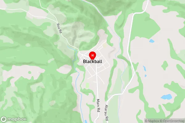
RoaBlackball Area Map (Street)
Local Authority
Grey DistrictFull Address
Blackball, Grey District, New ZealandAddress Type
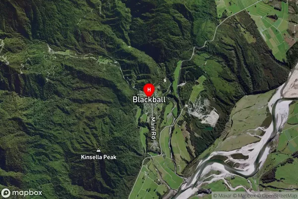
Suburb in Town GreymouthBlackball Suburb Map (Satellite)
Country
Main Region in AU
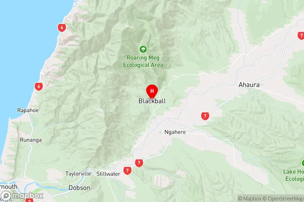
West CoastBlackball Region Map
Coordinates
-42.3640296,171.4119525 (latitude/longitude)Distances
The distance from Blackball, Greymouth, Grey District to NZ Top 10 Cities