Pukerangi Area, Pukerangi Postcode(9054) & Map in Pukerangi
Pukerangi Area, Pukerangi Postcode(9054) & Map in Pukerangi, Dunedin City, New Zealand
Pukerangi, Dunedin City, New Zealand
Pukerangi Postcodes
Pukerangi Area (estimated)
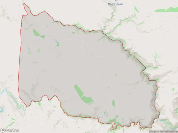
120.8 square kilometersPukerangi Population (estimated)
29 people live in Pukerangi, Otago, NZPukerangi Suburb Area Map (Polygon)
Pukerangi Introduction
Pukerangi is a small township in the Middlemarch district of Otago, New Zealand. It is located on State Highway 1, 26 km south of Middlemarch and 112 km north of Dunedin. The area was first settled in the 1860s by Scottish settlers, and the township was named after the Pukerangi River, which flows through the area. The Pukerangi Power Station, which generates electricity for the region, is located in the township.Region
Major City
Suburb Name
PukerangiOther Name(s)
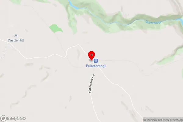
MataraePukerangi Area Map (Street)
Local Authority
Dunedin CityFull Address
Pukerangi, Dunedin City, New ZealandAddress Type
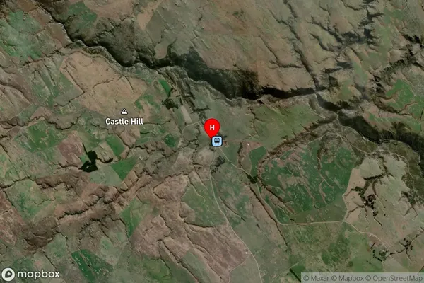
Locality in Major Locality MiddlemarchPukerangi Suburb Map (Satellite)
Country
Main Region in AU
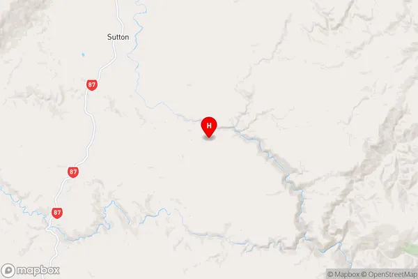
OtagoPukerangi Region Map
Coordinates
-45.6347908,170.2107996 (latitude/longitude)Distances
The distance from Pukerangi, Middlemarch, Dunedin City to NZ Top 10 Cities