Pukeokahu Area, Pukeokahu Postcode & Map in Pukeokahu
Pukeokahu Area, Pukeokahu Postcode & Map in Pukeokahu, Rangitikei District,
Pukeokahu, Rangitikei District,
Pukeokahu Area (estimated)
168.1 square kilometersPukeokahu Population (estimated)
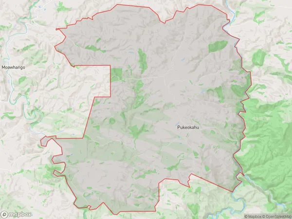
124 people live in Pukeokahu, Taihape, NZPukeokahu Suburb Area Map (Polygon)
Pukeokahu Introduction
Pukeokahu is a small rural community located in Taihape, Manawatu-Wanganui, New Zealand. It is known for its picturesque rural setting, with rolling hills, lush green fields, and a peaceful atmosphere. The community has a strong sense of community and is home to a variety of local businesses and services, including a primary school, a post office, and a convenience store. Pukeokahu is also home to a number of historic buildings, including the Pukeokahu Church, which was built in 1876.Region
Major City
Suburb Name
PukeokahuPukeokahu Area Map (Street)
Local Authority
Rangitikei DistrictFull Address
Pukeokahu, Rangitikei District,Address Type
Locality in Town TaihapePukeokahu Suburb Map (Satellite)
Country
Main Region in AU
Manawatu-WanganuiPukeokahu Region Map
Coordinates
0,0 (latitude/longitude)Distances
The distance from Pukeokahu, Taihape, Rangitikei District to NZ Top 10 Cities