Pukemoremore Area, Pukemoremore Postcode & Map in Pukemoremore
Pukemoremore Area, Pukemoremore Postcode & Map in Pukemoremore, Waipa District, New Zealand
Pukemoremore, Waipa District, New Zealand
Pukemoremore Area (estimated)
16.1 square kilometersPukemoremore Population (estimated)
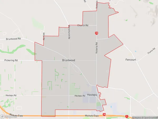
536 people live in Pukemoremore, Waikato, NZPukemoremore Suburb Area Map (Polygon)
Pukemoremore Introduction
Pukemoremore is a small rural community in Hamilton, Waikato, New Zealand. It is located on State Highway 1, approximately 10 kilometers south of Hamilton City. The area is known for its scenic rural landscapes, including rolling hills, farms, and picturesque waterways. Pukemoremore has a population of around 1,000 people and is home to a variety of businesses, including a primary school, a convenience store, and a pub. The community is also popular with outdoor enthusiasts, with many walking and cycling trails nearby.Region
Major City
Suburb Name
PukemoremoreOther Name(s)
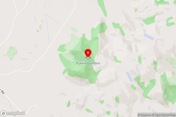
Tauwhare PaPukemoremore Area Map (Street)
Local Authority
Waipa DistrictFull Address
Pukemoremore, Waipa District, New ZealandAddress Type
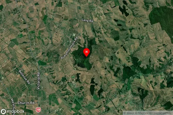
Locality in City HamiltonPukemoremore Suburb Map (Satellite)
Country
Main Region in AU
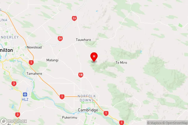
WaikatoPukemoremore Region Map
Coordinates
-37.8093717,175.4823974 (latitude/longitude)Distances
The distance from Pukemoremore, Hamilton, Waipa District to NZ Top 10 Cities