Akatore Area, Akatore Postcode & Map in Akatore
Akatore Area, Akatore Postcode & Map in Akatore, Clutha District, New Zealand
Akatore, Clutha District, New Zealand
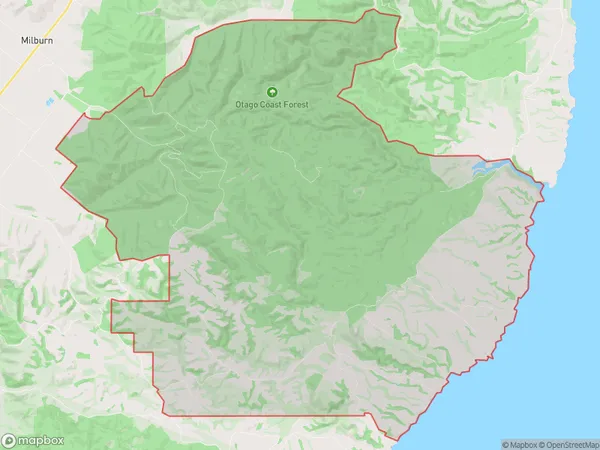
Akatore Area (estimated)
119.8 square kilometersAkatore Population (estimated)
10 people live in Akatore, Otago, NZAkatore Suburb Area Map (Polygon)
Akatore Introduction
Akatore is a small rural community in Otago, New Zealand, located on State Highway 1. It is known for its scenic views, historic buildings, and the Akatore River, which flows through the town. The population is around 100 people, and the community has a primary school, a post office, and a small supermarket.Region
Major City
Suburb Name
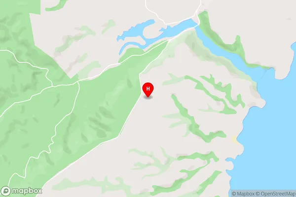
AkatoreAkatore Area Map (Street)
Local Authority
Clutha DistrictFull Address
Akatore, Clutha District, New ZealandAddress Type
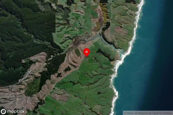
Locality in Town MiltonAkatore Suburb Map (Satellite)
Country
Main Region in AU
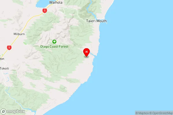
OtagoAkatore Region Map
Coordinates
-46.1146963,170.1687883 (latitude/longitude)Distances
The distance from Akatore, Milton, Clutha District to NZ Top 10 Cities