Pourakino Valley Area, Pourakino Valley Postcode & Map in Pourakino Valley
Pourakino Valley Area, Pourakino Valley Postcode & Map in Pourakino Valley, Southland District, New Zealand
Pourakino Valley, Southland District, New Zealand
Pourakino Valley Area (estimated)
94.4 square kilometersPourakino Valley Population (estimated)
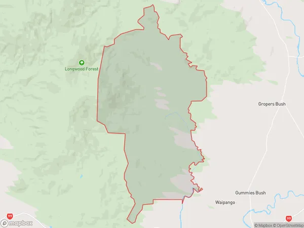
53 people live in Pourakino Valley, Southland, NZPourakino Valley Suburb Area Map (Polygon)
Pourakino Valley Introduction
Pourakino Valley is a picturesque rural area located in the Riverton/Aparima region of Southland, New Zealand. It is known for its stunning landscapes, including rolling hills, lush green valleys, and crystal-clear rivers. The valley is home to a variety of wildlife, including native birds, deer, and otters. Visitors can enjoy hiking, fishing, and kayaking in the area, as well as exploring the historic Pourakino Power Station. The valley is also a popular filming location, with several movies and TV shows having been shot there over the years.Region
0Suburb Name
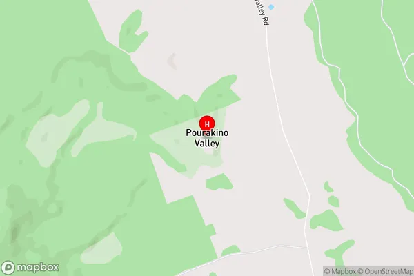
Pourakino ValleyPourakino Valley Area Map (Street)
Local Authority
Southland DistrictFull Address
Pourakino Valley, Southland District, New ZealandAddress Type
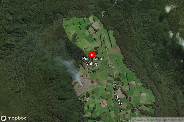
Locality in Town Riverton/AparimaPourakino Valley Suburb Map (Satellite)
Country
Main Region in AU
SouthlandPourakino Valley Region Map

Coordinates
-46.21418,167.91618 (latitude/longitude)Distances
The distance from Pourakino Valley, Riverton/Aparima, Southland District to NZ Top 10 Cities