Portage Area, Portage Postcode & Map in Portage
Portage Area, Portage Postcode & Map in Portage, Marlborough District, New Zealand
Portage, Marlborough District, New Zealand
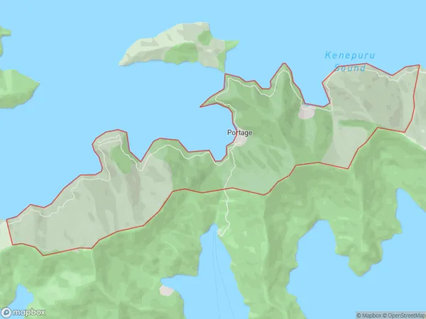
Portage Area (estimated)
6.6 square kilometersPortage Population (estimated)
20 people live in Portage, Marlborough, NZPortage Suburb Area Map (Polygon)
Portage Introduction
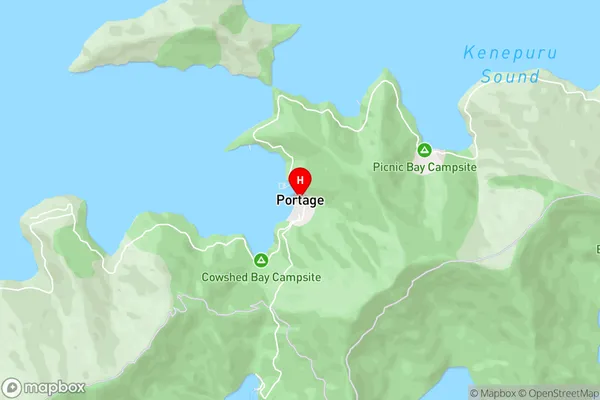
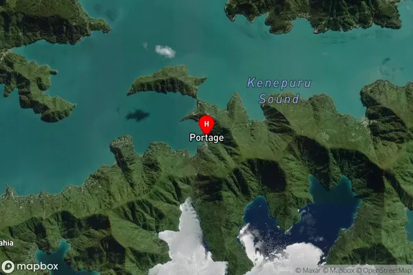
Portage is a small settlement in the Marlborough Sounds, Marlborough, New Zealand. It is located on the southern shore of Pelorus Sound and is accessible only by boat or a 20-minute walk through native forest. The settlement has a population of around 100 people and is known for its peaceful atmosphere, stunning natural scenery, and recreational opportunities such as fishing, hiking, and kayaking.Region
0Suburb Name
PortageOther Name(s)
KumutotoPortage Area Map (Street)
Local Authority
Marlborough DistrictFull Address
Portage, Marlborough District, New ZealandAddress Type
Locality in Major Locality Marlborough SoundsPortage Suburb Map (Satellite)
Country
Main Region in AU
MarlboroughPortage Region Map

Coordinates
-41.1983702,174.0354037 (latitude/longitude)Distances
The distance from Portage, Marlborough Sounds, Marlborough District to NZ Top 10 Cities