Port Underwood Area, Port Underwood Postcode & Map in Port Underwood
Port Underwood Area, Port Underwood Postcode & Map in Port Underwood, Marlborough District, New Zealand
Port Underwood, Marlborough District, New Zealand
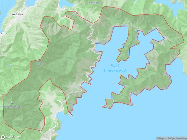
Port Underwood Area (estimated)
96.1 square kilometersPort Underwood Population (estimated)
27 people live in Port Underwood, Marlborough, NZPort Underwood Suburb Area Map (Polygon)
Port Underwood Introduction
Port Underwood is a small coastal settlement in Marlborough, New Zealand. It is known for its beautiful beaches, clear waters, and stunning coastal scenery. The area is popular with tourists and has a variety of accommodation options, including hotels, resorts, and holiday homes. Port Underwood also has a small community with a school, a post office, and a few shops. The nearby Marlborough Sounds is a popular destination for boating, fishing, and hiking.Region
Major City
Suburb Name
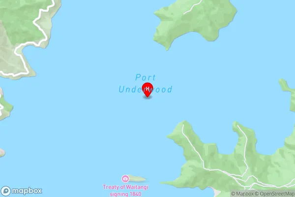
Port UnderwoodPort Underwood Area Map (Street)
Local Authority
Marlborough DistrictFull Address
Port Underwood, Marlborough District, New ZealandAddress Type
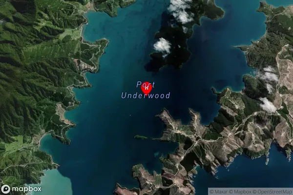
Locality in Town PictonPort Underwood Suburb Map (Satellite)
Country
Main Region in AU
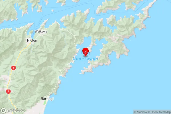
MarlboroughPort Underwood Region Map
Coordinates
-41.3209311,174.13564577958 (latitude/longitude)Distances
The distance from Port Underwood, Picton, Marlborough District to NZ Top 10 Cities