Bishopdale Area, Bishopdale Postcode(7011) & Map in Bishopdale
Bishopdale Area, Bishopdale Postcode(7011) & Map in Bishopdale, Nelson City, New Zealand
Bishopdale, Nelson City, New Zealand
Bishopdale Postcodes
Bishopdale Area (estimated)
3.0 square kilometersBishopdale Population (estimated)
977 people live in Bishopdale, Nelson, NZBishopdale Suburb Area Map (Polygon)
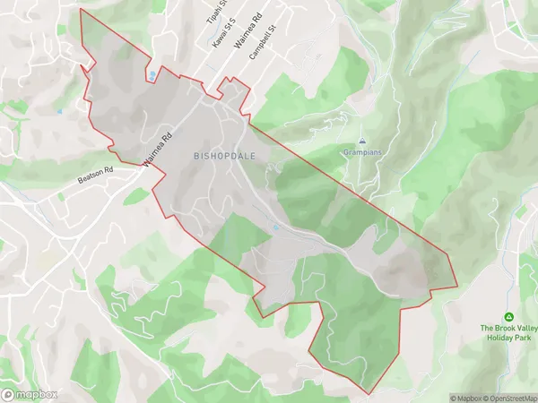
Bishopdale Introduction
Bishopdale is a residential suburb of Nelson, New Zealand, located on the eastern side of the city. It is known for its scenic views, tree-lined streets, and peaceful atmosphere. The suburb has a variety of housing options, including single-family homes, apartments, and townhouses. It is also home to several parks, including Trafalgar Park and Bishopdale Park. The area is well-connected to the rest of Nelson via public transportation, and it is a short drive to the city center.Region
Major City
Suburb Name
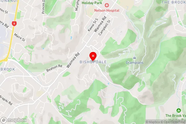
BishopdaleBishopdale Area Map (Street)
Local Authority
Nelson CityFull Address
Bishopdale, Nelson City, New ZealandAddress Type
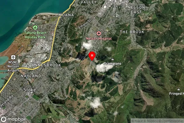
Suburb in City NelsonBishopdale Suburb Map (Satellite)
Country
Main Region in AU
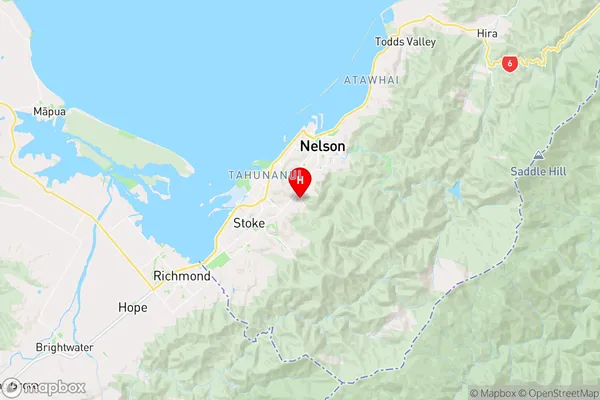
NelsonBishopdale Region Map
Coordinates
-41.298945,173.268258 (latitude/longitude)Distances
The distance from Bishopdale, Nelson, Nelson City to NZ Top 10 Cities