Port Ligar Area, Port Ligar Postcode & Map in Port Ligar
Port Ligar Area, Port Ligar Postcode & Map in Port Ligar, Marlborough District, New Zealand
Port Ligar, Marlborough District, New Zealand
Port Ligar Area (estimated)
14.4 square kilometersPort Ligar Population (estimated)
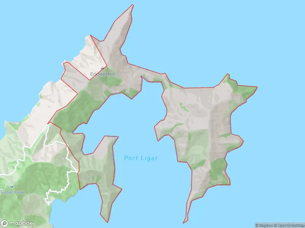
4 people live in Port Ligar, Marlborough, NZPort Ligar Suburb Area Map (Polygon)
Port Ligar Introduction
Port Ligar is a small bay and beach located in the Marlborough Sounds, New Zealand. It is known for its stunning turquoise waters, picturesque surroundings, and peaceful atmosphere. The bay is a popular spot for swimming, kayaking, and sailing, and it is surrounded by lush forests and picturesque hills. Port Ligar is also home to a small community of residents who enjoy the quiet and relaxed lifestyle of the area.Region
0Suburb Name
Port LigarOther Name(s)
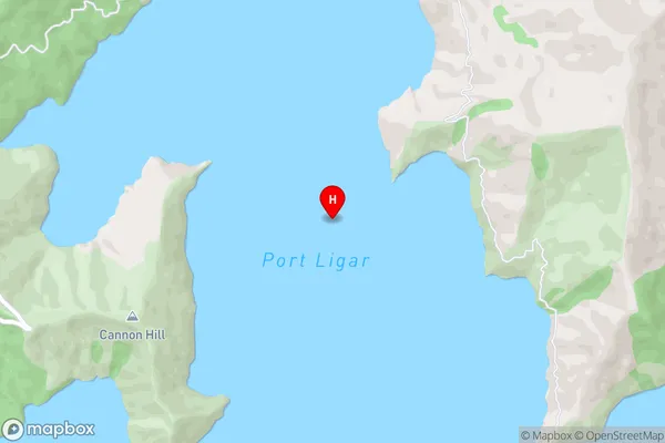
Bulwer Waihinau BayPort Ligar Area Map (Street)
Local Authority
Marlborough DistrictFull Address
Port Ligar, Marlborough District, New ZealandAddress Type
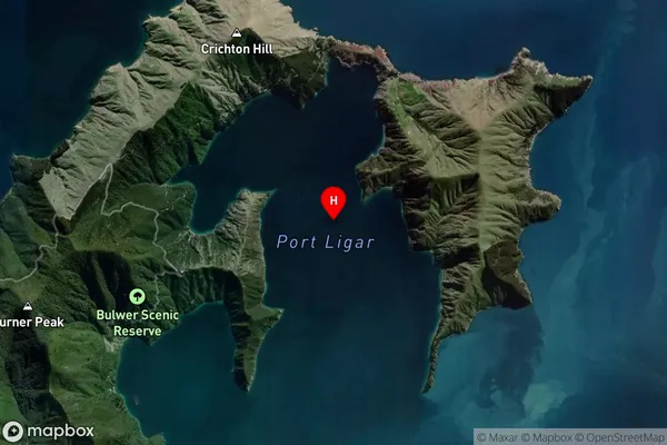
Locality in Major Locality Marlborough SoundsPort Ligar Suburb Map (Satellite)
Country
Main Region in AU
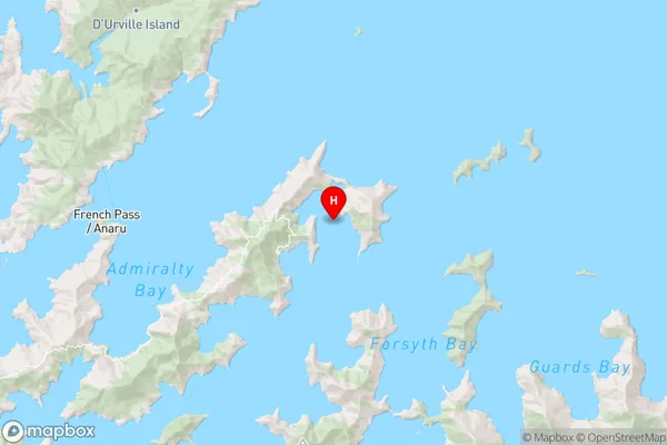
MarlboroughPort Ligar Region Map
Coordinates
-40.9274672,173.983269241507 (latitude/longitude)Distances
The distance from Port Ligar, Marlborough Sounds, Marlborough District to NZ Top 10 Cities