Popotunoa Area, Popotunoa Postcode & Map in Popotunoa
Popotunoa Area, Popotunoa Postcode & Map in Popotunoa, Clutha District,
Popotunoa, Clutha District,
Popotunoa Area (estimated)
96.2 square kilometersPopotunoa Population (estimated)
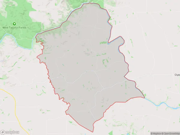
149 people live in Popotunoa, Clinton, NZPopotunoa Suburb Area Map (Polygon)
Popotunoa Introduction
Popotunoa is a small rural community in the Otago region of New Zealand. It is located on State Highway 1, approximately 20 kilometers south of Dunedin. The community has a population of around 100 people and is known for its scenic views and peaceful atmosphere. The area is popular with outdoor enthusiasts, with many opportunities for hiking, cycling, and fishing. The nearby Popotunoa Forest Reserve is a significant conservation area, home to a variety of plant and animal species.Region
Major City
Suburb Name
PopotunoaPopotunoa Area Map (Street)
Local Authority
Clutha DistrictFull Address
Popotunoa, Clutha District,Address Type
Locality in Town ClintonPopotunoa Suburb Map (Satellite)
Country
Main Region in AU
OtagoPopotunoa Region Map
Coordinates
0,0 (latitude/longitude)Distances
The distance from Popotunoa, Clinton, Clutha District to NZ Top 10 Cities