Bishopdale Area, Bishopdale Postcode(8053) & Map in Bishopdale
Bishopdale Area, Bishopdale Postcode(8053) & Map in Bishopdale, Christchurch City, New Zealand
Bishopdale, Christchurch City, New Zealand
Bishopdale Area (estimated)
3.8 square kilometersBishopdale Population (estimated)
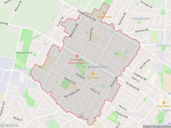
9041 people live in Bishopdale, Christchurch, NZBishopdale Suburb Area Map (Polygon)
Bishopdale Introduction
Bishopdale is a suburb of Christchurch, New Zealand, located in the eastern suburbs of the city. It is known for its wide streets, historic homes, and vibrant community. The suburb was established in the 1850s and has a rich history, with many of its buildings dating back to that time. Bishopdale is home to a variety of shops, cafes, and restaurants, as well as a community center and library. The suburb is also well-known for its beautiful parks and gardens, including the Botanic Gardens and the Riverside Park.Region
Major City
Suburb Name
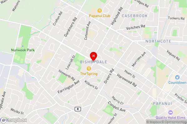
BishopdaleBishopdale Area Map (Street)
Local Authority
Christchurch CityFull Address
Bishopdale, Christchurch City, New ZealandAddress Type
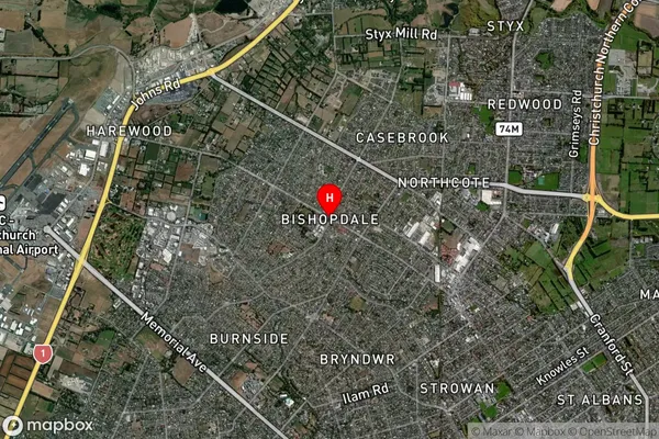
Suburb in City ChristchurchBishopdale Suburb Map (Satellite)
Country
Main Region in AU
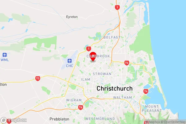
CanterburyBishopdale Region Map
Coordinates
-43.4884343,172.5886622 (latitude/longitude)Distances
The distance from Bishopdale, Christchurch, Christchurch City to NZ Top 10 Cities