Ponatahi Area, Ponatahi Postcode(5792) & Map in Ponatahi
Ponatahi Area, Ponatahi Postcode(5792) & Map in Ponatahi, Carterton District, New Zealand
Ponatahi, Carterton District, New Zealand
Ponatahi Postcodes
Ponatahi Area (estimated)
53.6 square kilometersPonatahi Population (estimated)
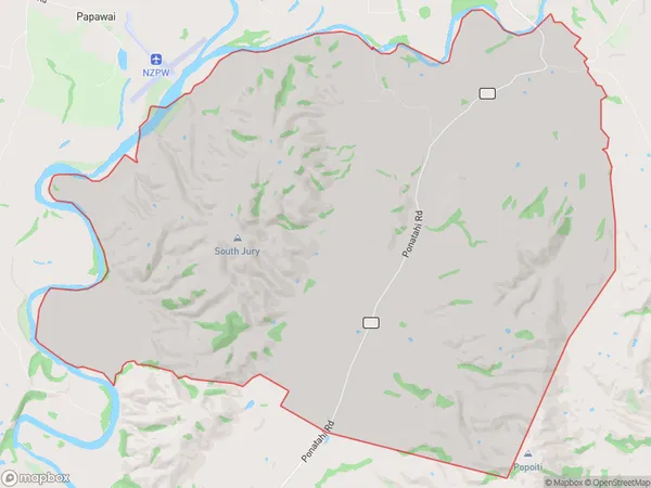
90 people live in Ponatahi, Wellington, NZPonatahi Suburb Area Map (Polygon)
Ponatahi Introduction
Ponatahi is a small rural community located in the Carterton District of Wellington, New Zealand. It is known for its picturesque rural setting, scenic views, and friendly community. The area is home to a variety of wildlife, including native birds, rabbits, and deer. Ponatahi also has a historic church and a small community hall. The community is surrounded by farmland and is located approximately 30 minutes from Wellington City.Region
Major City
Suburb Name
PonatahiOther Name(s)
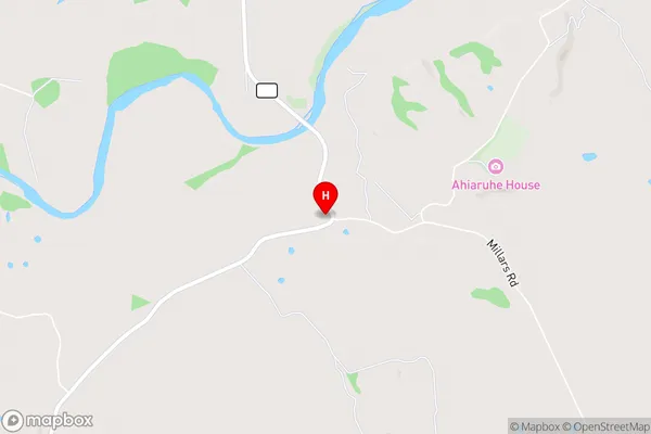
Bidwells Cutting, TemunaPonatahi Area Map (Street)
Local Authority
Carterton DistrictFull Address
Ponatahi, Carterton District, New ZealandAddress Type
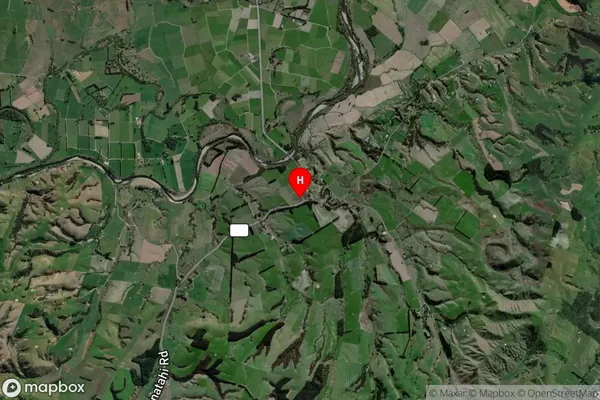
Locality in Town CartertonPonatahi Suburb Map (Satellite)
Country
Main Region in AU
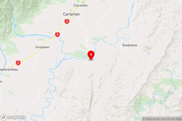
WellingtonPonatahi Region Map
Coordinates
-41.103641,175.5704498 (latitude/longitude)Distances
The distance from Ponatahi, Carterton, Carterton District to NZ Top 10 Cities