Pomarangai Area, Pomarangai Postcode & Map in Pomarangai
Pomarangai Area, Pomarangai Postcode & Map in Pomarangai, Waitomo District, New Zealand
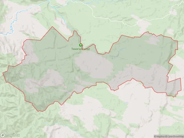
Pomarangai, Waitomo District, New Zealand
Pomarangai Area (estimated)
193.9 square kilometersPomarangai Population (estimated)
68 people live in Pomarangai, Waikato, NZPomarangai Suburb Area Map (Polygon)
Pomarangai Introduction
Pomarangai is a small rural community in the Waikato region of New Zealand, located approximately 30 minutes south of Hamilton. It is known for its picturesque rural setting, with rolling hills, lush green fields, and a peaceful atmosphere. The community has a primary school, a post office, and a small supermarket, and is surrounded by beautiful countryside and a variety of outdoor activities, including hiking, cycling, and fishing.Region
Major City
Suburb Name
PomarangaiOther Name(s)
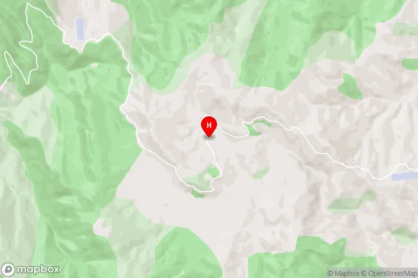
Mangaohae, NgapaengaPomarangai Area Map (Street)
Local Authority
Waitomo DistrictFull Address
Pomarangai, Waitomo District, New ZealandAddress Type
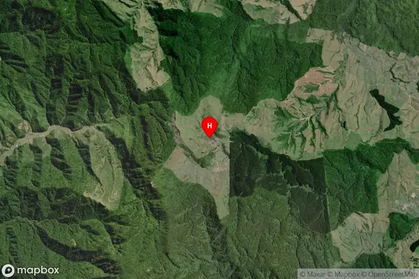
Locality in Town PiopioPomarangai Suburb Map (Satellite)
Country
Main Region in AU
WaikatoPomarangai Region Map

Coordinates
-38.357213,174.805678 (latitude/longitude)Distances
The distance from Pomarangai, Piopio, Waitomo District to NZ Top 10 Cities