Pirimai Area, Pirimai Postcode(4141) & Map in Pirimai
Pirimai Area, Pirimai Postcode(4141) & Map in Pirimai, Napier City, New Zealand
Pirimai, Napier City, New Zealand
Pirimai Area (estimated)
1.7 square kilometersPirimai Population (estimated)
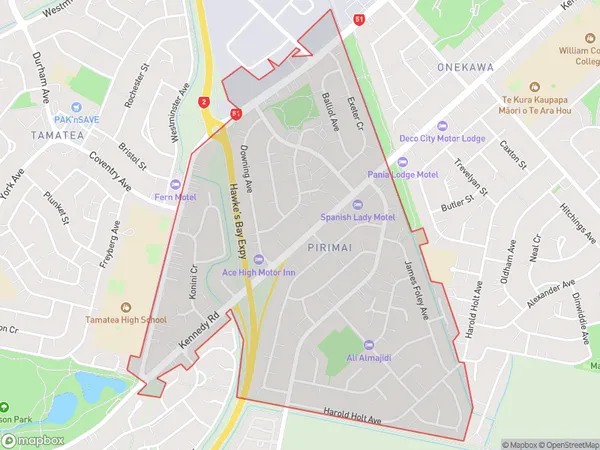
4083 people live in Pirimai, Napier, NZPirimai Suburb Area Map (Polygon)
Pirimai Introduction
Pirimai is a small rural community located in the Napier region of Hawke's Bay, New Zealand. It is known for its scenic surroundings, including the Pirimai Mountains and the surrounding farmland. The community has a population of around 100 people and is home to a primary school, a church, and a small convenience store. Pirimai is surrounded by beautiful natural landscapes and is a popular destination for outdoor activities such as hiking, cycling, and fishing.Region
Major City
Suburb Name
PirimaiOther Name(s)
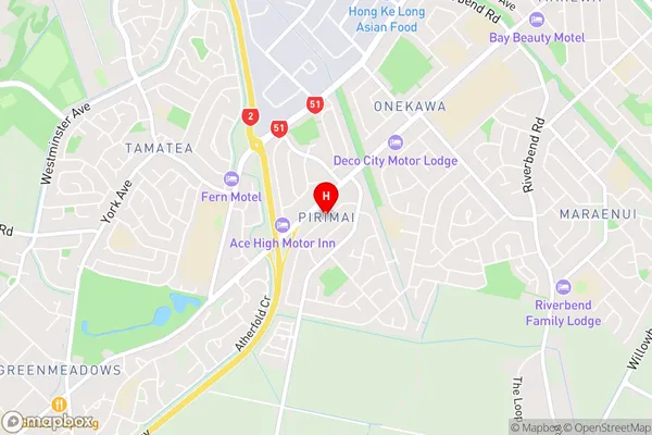
Onekawa IndustrialPirimai Area Map (Street)
Local Authority
Napier CityFull Address
Pirimai, Napier City, New ZealandAddress Type
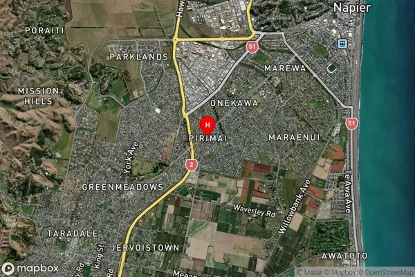
Suburb in City NapierPirimai Suburb Map (Satellite)
Country
Main Region in AU
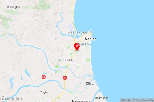
Hawke's BayPirimai Region Map
Coordinates
-39.5152857,176.8819803 (latitude/longitude)Distances
The distance from Pirimai, Napier, Napier City to NZ Top 10 Cities