Pipiriki Area, Pipiriki Postcode & Map in Pipiriki, Ruapehu District
Pipiriki Area, Pipiriki Postcode & Map in Pipiriki, Ruapehu District, Whanganui District, New Zealand
Pipiriki, Ruapehu District, Whanganui District, New Zealand
Pipiriki Area (estimated)
-1.2 square kilometersPipiriki Population (estimated)
48 people live in Pipiriki, Manawatu-Wanganui, NZPipiriki Suburb Area Map (Polygon)
Not available for nowPipiriki Introduction
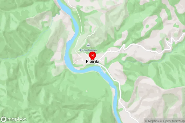
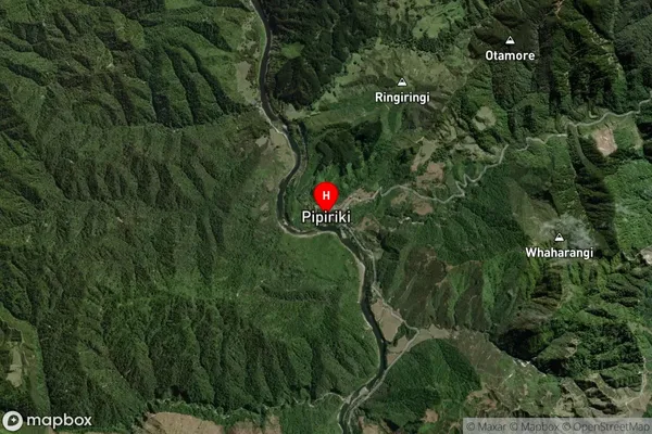
Pipiriki is a small town in the Manawatu-Wanganui region of New Zealand. It is situated on the banks of the Whanganui River and is known for its beautiful natural surroundings, including the Pipiriki Forest and the Rangitikei River. The town has a population of around 1,000 people and is a popular destination for outdoor activities such as hiking, cycling, and fishing. Pipiriki also has a historic stone church and a community hall that hosts a variety of events and activities throughout the year.Region
0Suburb Name
PipirikiPipiriki Area Map (Street)
Local Authority
Ruapehu District, Whanganui DistrictFull Address
Pipiriki, Ruapehu District, Whanganui District, New ZealandAddress Type
Locality in Town WhanganuiPipiriki Suburb Map (Satellite)
Country
Main Region in AU
Manawatu-WanganuiPipiriki Region Map

Coordinates
-39.478542,175.0422537 (latitude/longitude)Distances
The distance from Pipiriki, Whanganui, Ruapehu District, Whanganui District to NZ Top 10 Cities