The Pines Beach Area, The Pines Beach Postcode(7630) & Map in The Pines Beach
The Pines Beach Area, The Pines Beach Postcode(7630) & Map in The Pines Beach, Waimakariri District, New Zealand
The Pines Beach, Waimakariri District, New Zealand
The Pines Beach Postcodes
The Pines Beach Area (estimated)
0.7 square kilometersThe Pines Beach Population (estimated)
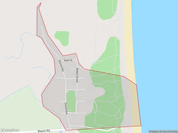
360 people live in The Pines Beach, Canterbury, NZThe Pines Beach Suburb Area Map (Polygon)
The Pines Beach Introduction
The Pines Beach is a popular swimming and picnic spot in Christchurch, New Zealand. It is located on the banks of the Avon River and is known for its peaceful atmosphere and stunning natural surroundings. The beach has a wide range of facilities, including barbecues, toilets, and parking, and is a popular destination for families and outdoor enthusiasts.Region
Major City
Suburb Name
The Pines BeachOther Name(s)
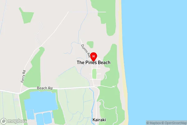
Camside, Kairaki Beach, Pines BeachThe Pines Beach Area Map (Street)
Local Authority
Waimakariri DistrictFull Address
The Pines Beach, Waimakariri District, New ZealandAddress Type
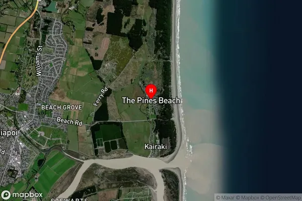
Suburb in Major Locality The Pines BeachThe Pines Beach Suburb Map (Satellite)
Country
Main Region in AU
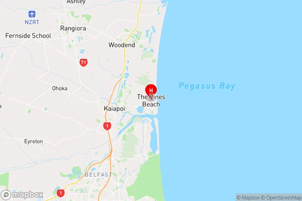
CanterburyThe Pines Beach Region Map
Coordinates
-43.3752036,172.7022205 (latitude/longitude)Distances
The distance from The Pines Beach, The Pines Beach, Waimakariri District to NZ Top 10 Cities