Pepin Island Area, Pepin Island Postcode(7045) & Map in Pepin Island
Pepin Island Area, Pepin Island Postcode(7045) & Map in Pepin Island, Nelson City, New Zealand
Pepin Island, Nelson City, New Zealand
Pepin Island Postcodes
Pepin Island Area (estimated)
6.6 square kilometersPepin Island Population (estimated)
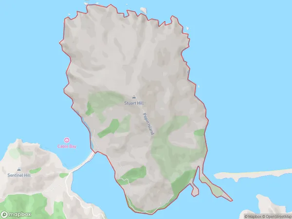
16 people live in Pepin Island, Nelson, NZPepin Island Suburb Area Map (Polygon)
Pepin Island Introduction
Pepin Island is a small island located in the Nelson region of New Zealand. It is known for its beautiful beaches, lush forests, and historic ruins. The island was once home to a large Māori settlement and is now a popular tourist destination. Visitors can explore the ruins of the pa, visit the lighthouse, or take a walk along the beach. The island also has a variety of wildlife, including seals, penguins, and bird species.Region
Major City
Suburb Name
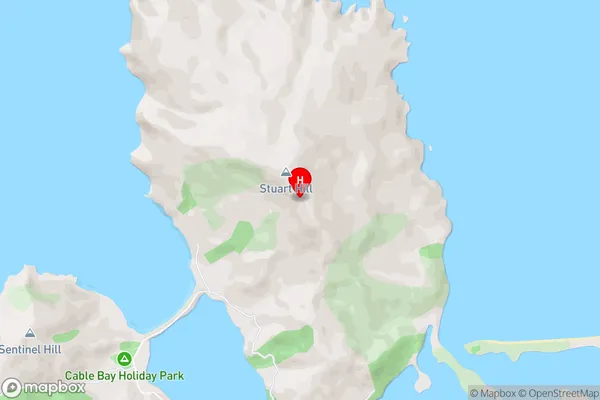
Pepin IslandPepin Island Area Map (Street)
Local Authority
Nelson CityFull Address
Pepin Island, Nelson City, New ZealandAddress Type
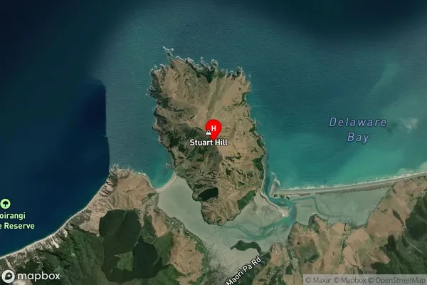
Locality in Major Locality HiraPepin Island Suburb Map (Satellite)
Country
Main Region in AU
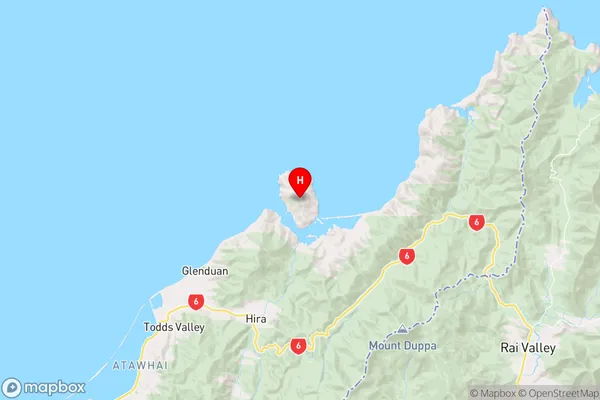
NelsonPepin Island Region Map
Coordinates
-41.15154425,173.427060901635 (latitude/longitude)Distances
The distance from Pepin Island, Hira, Nelson City to NZ Top 10 Cities