Penrose Area, Penrose Postcode(1061) & Map in Penrose
Penrose Area, Penrose Postcode(1061) & Map in Penrose, Auckland, New Zealand
Penrose, Auckland, New Zealand
Penrose Area (estimated)
6.5 square kilometersPenrose Population (estimated)
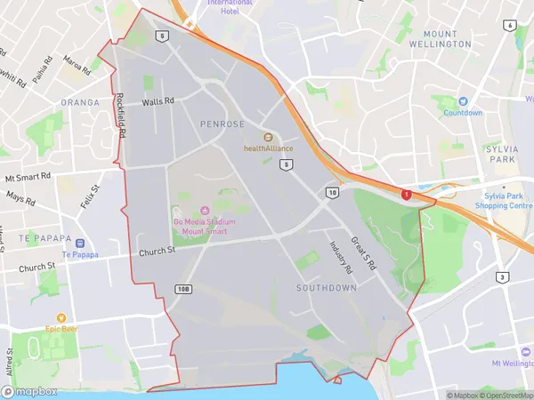
908 people live in Penrose, Maungakiekie-Tāmaki, NZPenrose Suburb Area Map (Polygon)
Penrose Introduction
Penrose is a suburb of Auckland, New Zealand, located in the Eastern suburbs. It is known for its vibrant community, diverse housing options, and convenient location, with easy access to the city center and surrounding areas. The suburb has a mix of residential properties, including apartments, townhouses, and standalone homes, and is home to a large number of families and young professionals.Region
Major City
Suburb Name
PenroseOther Name(s)
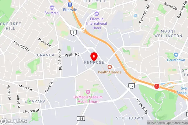
SouthdownPenrose Area Map (Street)
Local Authority
AucklandFull Address
Penrose, Auckland, New ZealandAddress Type
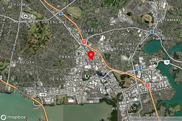
Suburb in City AucklandPenrose Suburb Map (Satellite)
Country
Main Region in AU
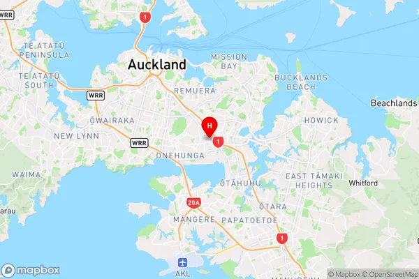
AucklandPenrose Region Map
Coordinates
-36.9111443,174.8147813 (latitude/longitude)Distances
The distance from Penrose, Auckland, Auckland to NZ Top 10 Cities