Pelorus Bridge Area, Pelorus Bridge Postcode & Map in Pelorus Bridge
Pelorus Bridge Area, Pelorus Bridge Postcode & Map in Pelorus Bridge, Marlborough District, New Zealand
Pelorus Bridge, Marlborough District, New Zealand
Pelorus Bridge Area (estimated)
-1.2 square kilometersPelorus Bridge Population (estimated)
91 people live in Pelorus Bridge, Marlborough, NZPelorus Bridge Suburb Area Map (Polygon)
Not available for nowPelorus Bridge Introduction
Pelorus Bridge is a historic bridge in Rai Valley, Marlborough, New Zealand. It was built in 1878 by the New Zealand Government and is considered one of the country's most impressive engineering achievements of the 19th century. The bridge spans the Pelorus River and is 1.2 km long and 30 meters wide. It is a popular tourist attraction and is listed as a "Historic Place" by the New Zealand Historic Places Trust.Region
Major City
Suburb Name
Pelorus BridgeOther Name(s)
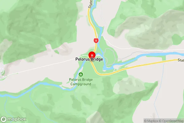
Pelorous BridgePelorus Bridge Area Map (Street)

Local Authority
Marlborough DistrictFull Address
Pelorus Bridge, Marlborough District, New ZealandAddress Type
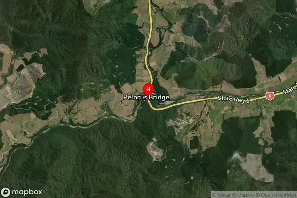
Locality in Major Locality Rai ValleyPelorus Bridge Suburb Map (Satellite)

Country
Main Region in AU
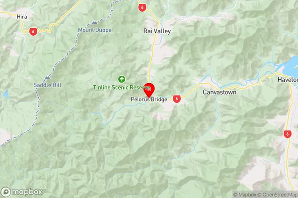
MarlboroughPelorus Bridge Region Map

Coordinates
-41.2987635,173.5725325 (latitude/longitude)Distances
The distance from Pelorus Bridge, Rai Valley, Marlborough District to NZ Top 10 Cities