Peebles Area, Peebles Postcode & Map in Peebles
Peebles Area, Peebles Postcode & Map in Peebles, Waitaki District, New Zealand
Peebles, Waitaki District, New Zealand
Peebles Area (estimated)
39.0 square kilometersPeebles Population (estimated)
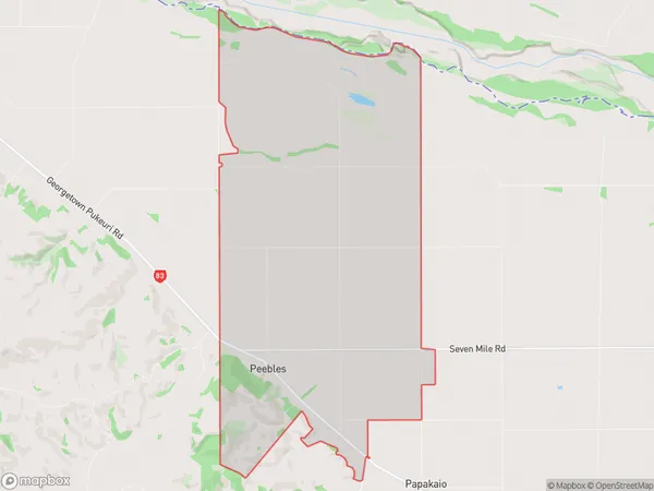
171 people live in Peebles, Otago, NZPeebles Suburb Area Map (Polygon)
Peebles Introduction
Peebles, located in Otago, New Zealand, is a small town known for its historic stone bridge, which spans the Waitaki River. The bridge was built in 1878 and is a popular tourist attraction. Peebles also has a variety of shops and cafes, as well as a golf course and a swimming pool.Region
0Suburb Name
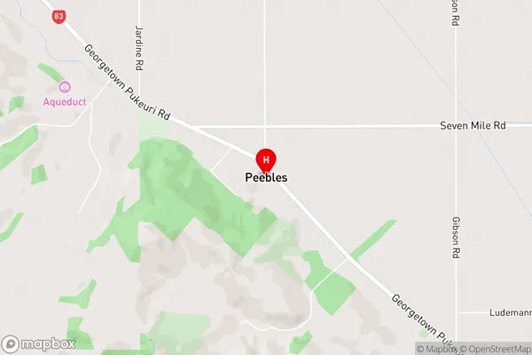
PeeblesPeebles Area Map (Street)
Local Authority
Waitaki DistrictFull Address
Peebles, Waitaki District, New ZealandAddress Type
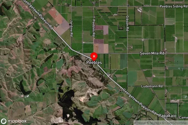
Locality in Major Locality Waitaki BridgePeebles Suburb Map (Satellite)
Country
Main Region in AU
OtagoPeebles Region Map

Coordinates
-44.9682743,170.938983 (latitude/longitude)Distances
The distance from Peebles, Waitaki Bridge, Waitaki District to NZ Top 10 Cities