Patoka Area, Patoka Postcode(4186) & Map in Patoka
Patoka Area, Patoka Postcode(4186) & Map in Patoka, Hastings District, New Zealand
Patoka, Hastings District, New Zealand
Patoka Postcodes
Patoka Area (estimated)
-1.2 square kilometersPatoka Population (estimated)
256 people live in Patoka, Hawke's Bay, NZPatoka Suburb Area Map (Polygon)
Not available for nowPatoka Introduction
Patoka is a small rural town located in the Napier region of Hawke's Bay, New Zealand. It is known for its historic buildings, including the Patoka River Bridge, which was built in 1887. The town also has a popular tourist attraction, the Patoka Forest Park, which is home to a variety of native birds and plants.Region
Major City
Suburb Name
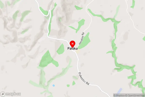
PatokaPatoka Area Map (Street)
Local Authority
Hastings DistrictFull Address
Patoka, Hastings District, New ZealandAddress Type
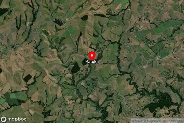
Locality in City NapierPatoka Suburb Map (Satellite)
Country
Main Region in AU
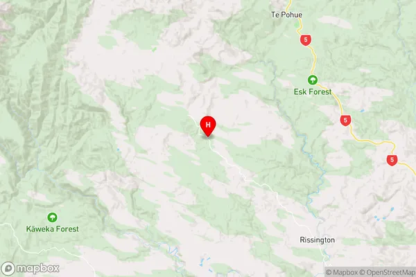
Hawke's BayPatoka Region Map
Coordinates
-39.346196,176.603744 (latitude/longitude)Distances
The distance from Patoka, Napier, Hastings District to NZ Top 10 Cities