Patetonga Area, Patetonga Postcode & Map in Patetonga
Patetonga Area, Patetonga Postcode & Map in Patetonga, Hauraki District, New Zealand
Patetonga, Hauraki District, New Zealand
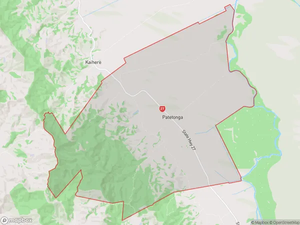
Patetonga Area (estimated)
90.4 square kilometersPatetonga Population (estimated)
316 people live in Patetonga, Waikato, NZPatetonga Suburb Area Map (Polygon)
Patetonga Introduction
Patetonga is a small rural community in the Waikato region of New Zealand. It is located on State Highway 1, approximately 30 kilometers south of Hamilton. The community has a population of around 100 people and is known for its beautiful natural surroundings, including the Patetonga Forest and the Patetonga River. The area has a rich history, with evidence of early Māori settlement dating back to the 13th century. The village also has a historic church, a post office, and a small convenience store.Region
0Suburb Name
PatetongaOther Name(s)
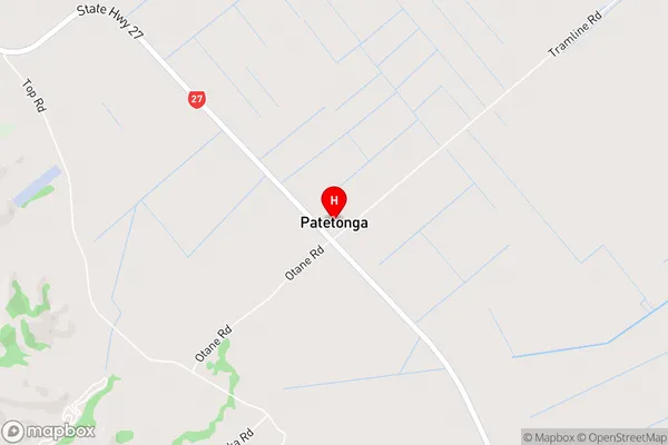
Awaiti NorthPatetonga Area Map (Street)
Local Authority
Hauraki DistrictFull Address
Patetonga, Hauraki District, New ZealandAddress Type
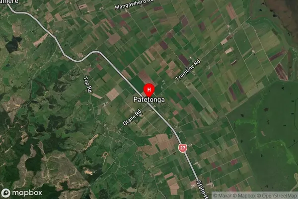
Locality in Major Locality PatetongaPatetonga Suburb Map (Satellite)
Country
Main Region in AU
WaikatoPatetonga Region Map

Coordinates
-37.3990987,175.4684072 (latitude/longitude)Distances
The distance from Patetonga, Patetonga, Hauraki District to NZ Top 10 Cities