Patearoa Area, Patearoa Postcode & Map in Patearoa
Patearoa Area, Patearoa Postcode & Map in Patearoa, Central Otago District, New Zealand
Patearoa, Central Otago District, New Zealand
Patearoa Area (estimated)
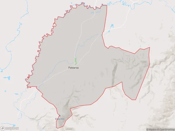
187.8 square kilometersPatearoa Population (estimated)
194 people live in Patearoa, Otago, NZPatearoa Suburb Area Map (Polygon)
Patearoa Introduction
Patearoa is a small rural town in Otago, New Zealand, located on State Highway 1. It is known for its scenic views, historic buildings, and the Patearoa Falls. The town has a population of around 100 people and is surrounded by farmland and native forests. Patearoa is also home to the Patearoa Stone Store, a historic building that has been restored and is now a popular tourist attraction.Region
0Suburb Name
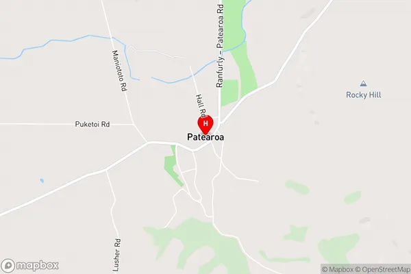
PatearoaPatearoa Area Map (Street)
Local Authority
Central Otago DistrictFull Address
Patearoa, Central Otago District, New ZealandAddress Type
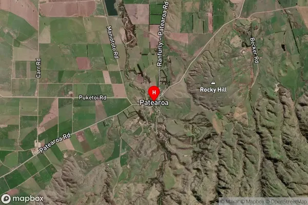
Locality in Major Locality PatearoaPatearoa Suburb Map (Satellite)
Country
Main Region in AU
OtagoPatearoa Region Map

Coordinates
-45.2717429,170.0510264 (latitude/longitude)Distances
The distance from Patearoa, Patearoa, Central Otago District to NZ Top 10 Cities