Patea Area, Patea Postcode(4520) & Map in Patea
Patea Area, Patea Postcode(4520) & Map in Patea, South Taranaki District, New Zealand
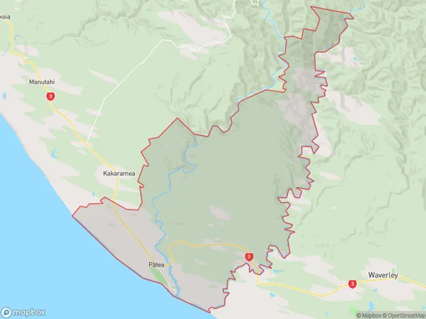
Patea, South Taranaki District, New Zealand
Patea Postcodes
Patea Area (estimated)
131.9 square kilometersPatea Population (estimated)
1644 people live in Patea, Taranaki, NZPatea Suburb Area Map (Polygon)
Patea Introduction
Patea is a small town in Taranaki, New Zealand, known for its historic buildings and strong Maori culture. It is located on the banks of the Patea River and is a popular tourist destination. The town has a population of around 5,000 people and is home to a number of important historical sites, including the Patea Castle and the Patea Maori Church.Region
Major City
Suburb Name
Patea (Maori Name: Pātea)Other Name(s)
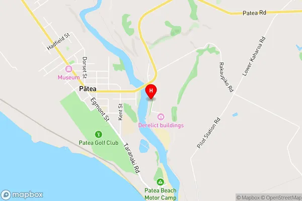
Opaku, Otautu, WhenuakuraPatea Area Map (Street)
Local Authority
South Taranaki DistrictFull Address
Patea, South Taranaki District, New ZealandAddress Type
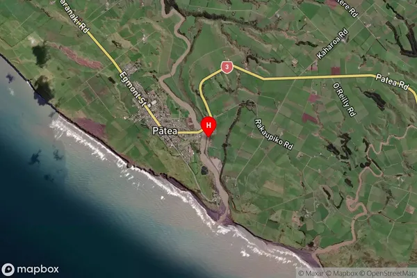
Suburb in Town PateaPatea Suburb Map (Satellite)
Country
Main Region in AU
TaranakiPatea Region Map

Coordinates
-39.7584001,174.4859763 (latitude/longitude)Distances
The distance from Patea, Patea, South Taranaki District to NZ Top 10 Cities