Parikino Area, Parikino Postcode & Map in Parikino
Parikino Area, Parikino Postcode & Map in Parikino, Whanganui District, New Zealand
Parikino, Whanganui District, New Zealand
Parikino Area (estimated)
-1.2 square kilometersParikino Population (estimated)
201 people live in Parikino, Manawatu-Wanganui, NZParikino Suburb Area Map (Polygon)
Not available for nowParikino Introduction
Parikino is a small town in the Manawatu-Wanganui region of New Zealand. It is located on State Highway 3, approximately 25 km south of Palmerston North and 15 km north of Wanganui. The town has a population of around 1,000 people and is known for its scenic surroundings, including the Parikino Forest and the Parikino River. The town also has a primary school, a post office, and a convenience store.Region
Major City
Suburb Name
ParikinoOther Name(s)
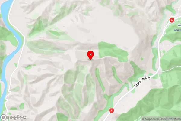
PungarehuParikino Area Map (Street)
Local Authority
Whanganui DistrictFull Address
Parikino, Whanganui District, New ZealandAddress Type
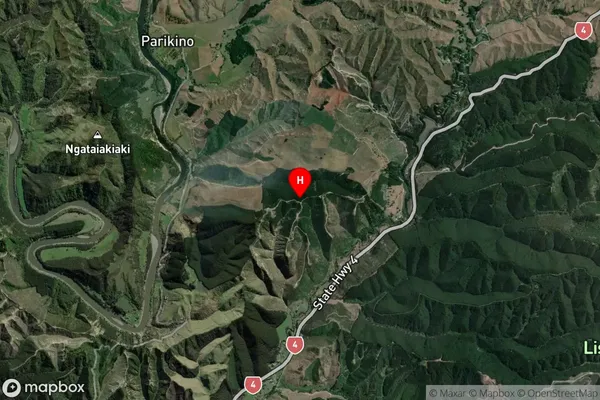
Locality in Town WhanganuiParikino Suburb Map (Satellite)
Country
Main Region in AU
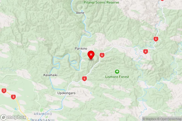
Manawatu-WanganuiParikino Region Map
Coordinates
-39.810194,175.169667 (latitude/longitude)Distances
The distance from Parikino, Whanganui, Whanganui District to NZ Top 10 Cities