Paremata Area, Paremata Postcode(5024) & Map in Paremata
Paremata Area, Paremata Postcode(5024) & Map in Paremata, Porirua City, New Zealand
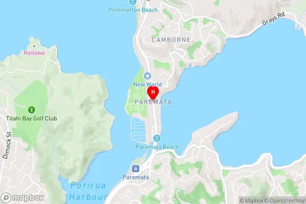
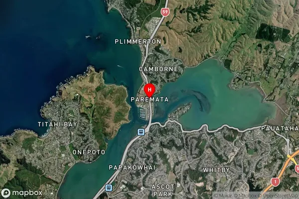
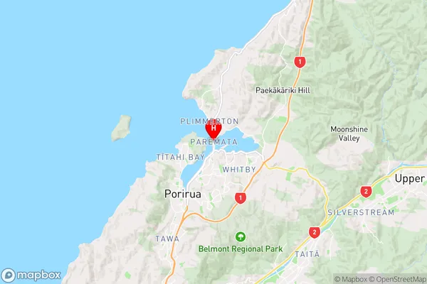
Paremata, Porirua City, New Zealand
Paremata Area (estimated)
-1.2 square kilometersParemata Population (estimated)
2676 people live in Paremata, Porirua, NZParemata Suburb Area Map (Polygon)
Not available for nowParemata Introduction
Paremata is a suburb of Porirua, Wellington, New Zealand. It is located on the southern shore of Porirua Harbour and is known for its beautiful beaches, parks, and recreational facilities. The suburb has a population of around 6,000 people and is a popular destination for families and outdoor enthusiasts. Paremata has a rich cultural heritage, with many of its residents being of Māori descent. The area is also home to a significant number of artists and musicians.Region
Major City
Suburb Name
ParemataOther Name(s)
ManaParemata Area Map (Street)
Local Authority
Porirua CityFull Address
Paremata, Porirua City, New ZealandAddress Type
Suburb in City PoriruaParemata Suburb Map (Satellite)
Country
Main Region in AU
WellingtonParemata Region Map
Coordinates
-41.0976075,174.869541 (latitude/longitude)Distances
The distance from Paremata, Porirua, Porirua City to NZ Top 10 Cities